
Hunters
Scout. Hunt. Recover.
Built on a real backcountry navigation app, with the hunting features stacked on top — US & Canada units, US public and private land, and overlays you can tune to your season.
Not a hunting app
Built for navigation first. Tuned for hunting.
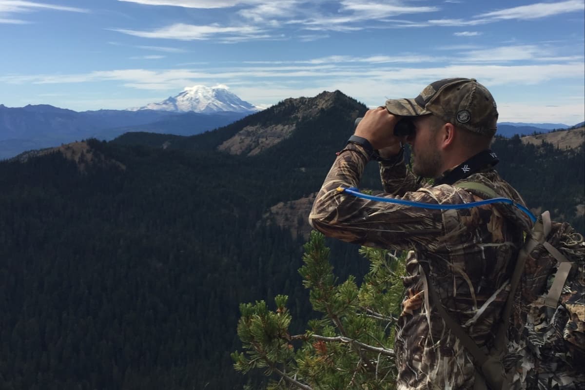
A lot of “hunting apps” are scouting tools you can barely navigate with when you’re a mile from your truck. Topo Maps+ is the other way around. Built for real backcountry navigation first — the same offline-anywhere map serious hikers and field pros rely on — then tuned for hunting with US & Canada game-management units, US public and private land, and overlays you can customize for season, terrain, and species.
“I have used this app and a very popular app for hunters through the last year. I found myself using this one more and more until it was a few months until I even opened the other app.”— Heydeerman, App Store review

The hunting arc
The whole season, on the same map.
Pre-season scouting, in-season navigation, and pack-out — all in the same app, with the same offline reliability you’d want for any backcountry trip.
Scout it
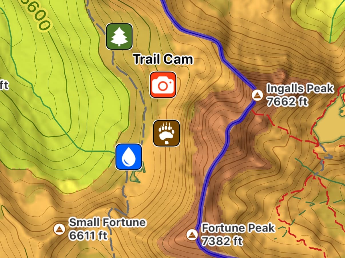
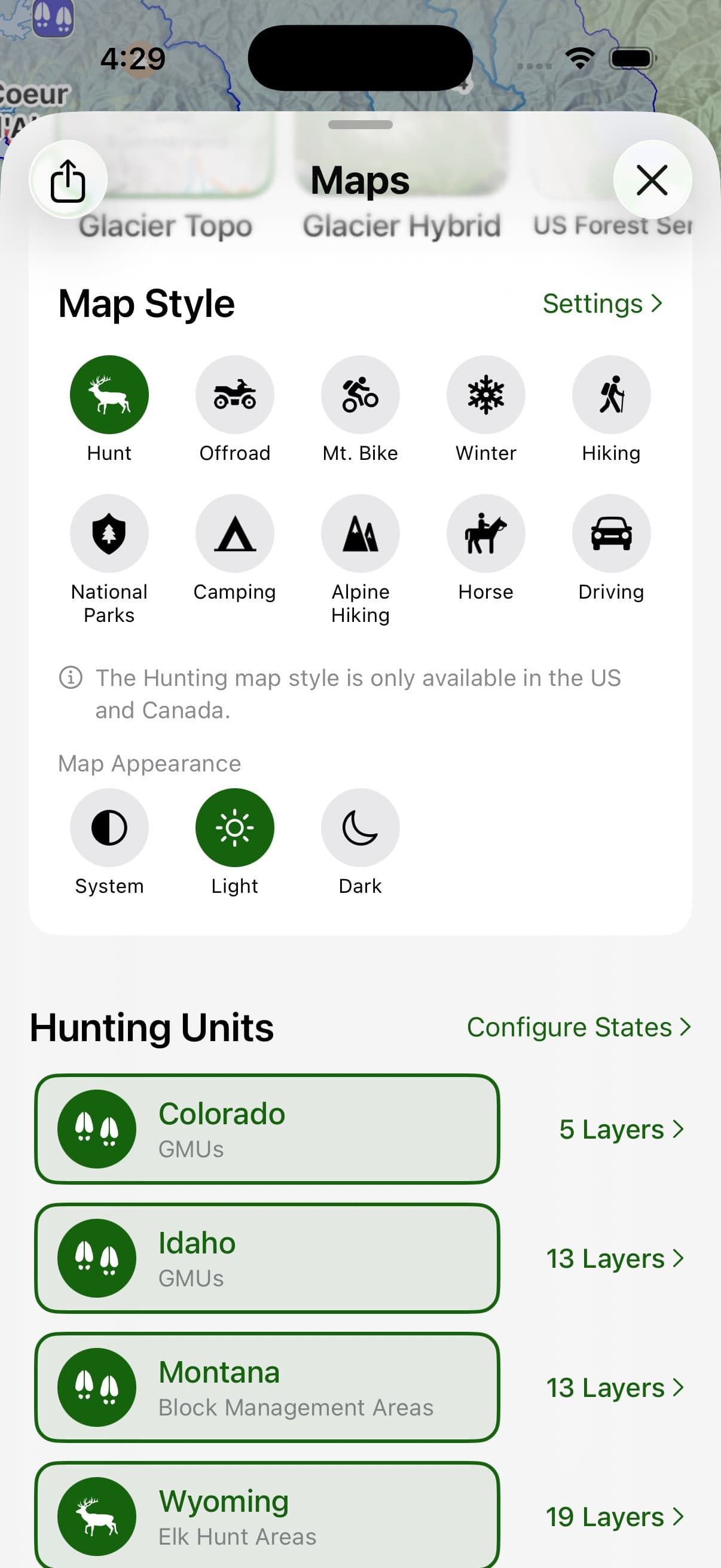
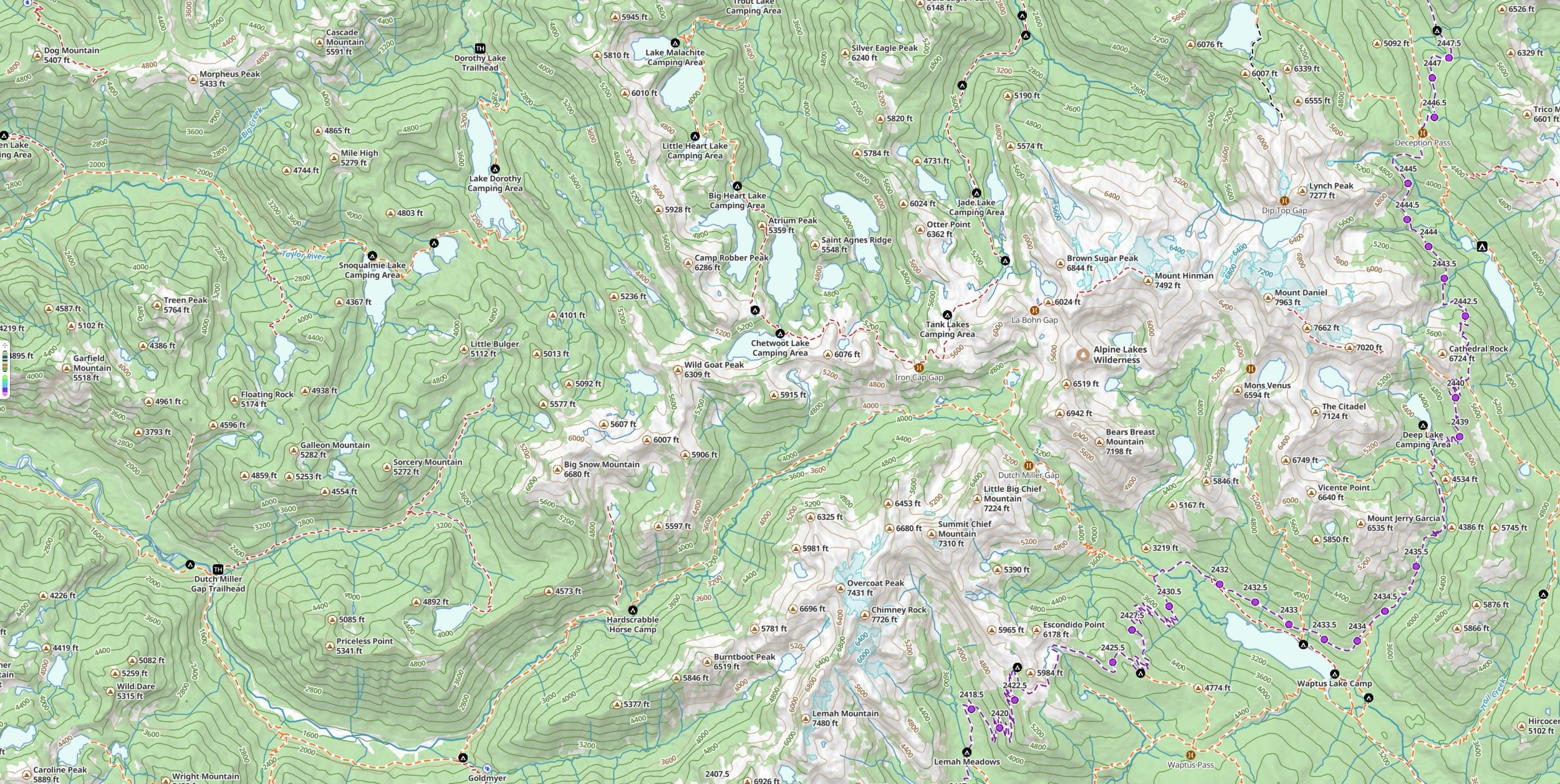
The pre-season is map work. Pick the Hunting activity style and Topo Maps+ turns on the US & Canada game-management-unit overlay, plus the land and POIs you’d want for scouting. Drop waypoints for cameras, stands, sign, water, and access; toggle the US public and private land overlay so you know exactly what you’re working with. Tune the Elevation Heat Map — which shades the map by elevation band, a strong proxy for where animals will be at the right time of year — to highlight the band you think will hold elk for the season and region, or deer in winter cover, or sheep in summer high country. Pre-download the maps for offline so the data’s there before you leave service.
Hunt it
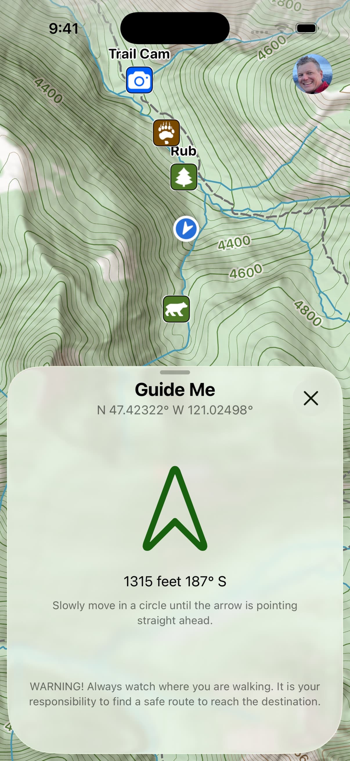
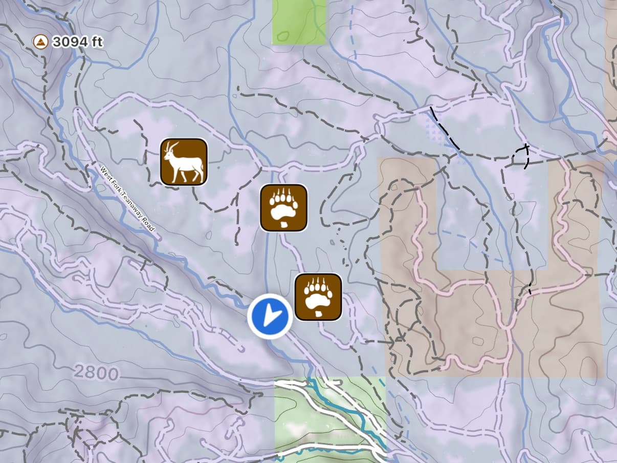
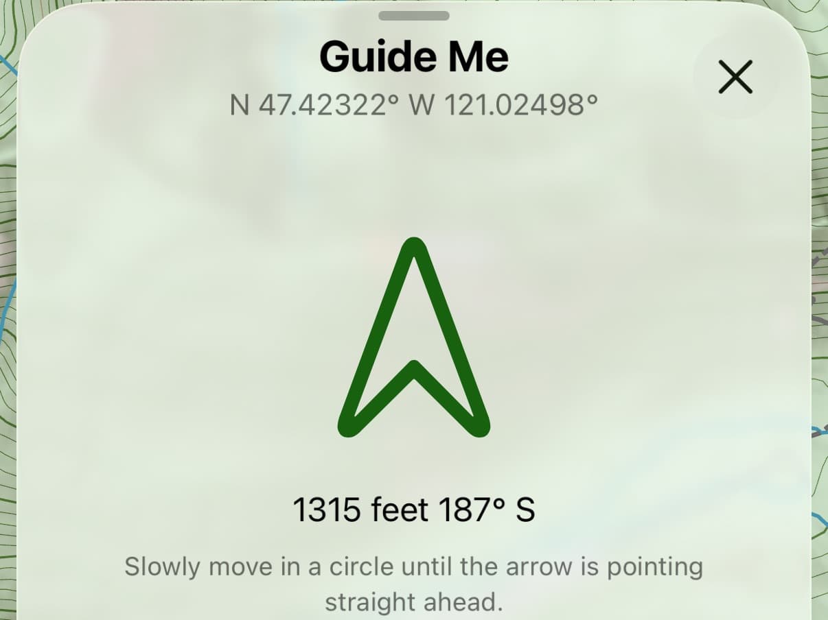
Out in the field, the same map keeps working with no signal. Toggle US public and private land to confirm you’re where you’re allowed to be. Tap & Hold drops a waypoint anywhere; Guide Me points an arrow toward any waypoint and fills green when you’re facing the right way — built for finding the cam buried in cover, the hidden stand, or your truck at the end of a long day. Share a common location with your hunting party in one tap to keep the group on the same page.
Recover and share it
After the shot, drop a waypoint at the kill, navigate back with Guide Me, and share the location with whoever’s helping with the pack-out — or with fish and game if needed. Export the GPX of your routes to a Garmin or inReach, or print a paper map of the area with your routes and waypoints, magnetic declination, and a coordinate grid.
Hunting unit boundaries and land-ownership data are best-available approximations from public sources. Always verify regulations, access, and boundaries with state and provincial agencies before you hunt.
Unit coverage
284 hunting layers.
Not one generic boundary layer for the whole country — a separate layer for each map an agency publishes, species by species, across the US and Canada.
- 227
- Unit boundaries
- 57
- Hunting property layers
- 49
- US states
- 9
- Canadian provinces & territories
Wyoming alone carries 19 — elk, mule deer, whitetail, antelope, moose, bighorn, mountain goat, mountain lion, black bear, grizzly, wolf, turkey, sage grouse, and sandhill crane hunt areas, plus walk-in and hunter management boundaries. Colorado brings its GMUs along with the sheep and goat variants and its public-access properties. Pick the state, pick the species, and the right boundaries draw on the map.
Canada is in there too — nine provinces and territories, including British Columbia’s Limited Entry Hunt zones for ten species alongside its Wildlife Management Units, and Saskatchewan’s furblocks.
In most states that means the agency’s own unit boundaries — GMUs, hunt areas, management units, LEH zones. In about a dozen, where we don’t carry numbered units, you get that state’s public land, WMA, and walk-in access layers instead.
Elite Hunting units are included with Elite.
From the field
What hunters actually do with it.
“I love this app!! It has changed the hunting game for me for the past two years that I have had it. I wouldn’t enter the woods without it now!!”
“I use this app literally every day to mark my tracks… trail cams, tree stand sites, food plots, deer trails. I love that you can overlay the satellite images with the topo maps.”
“My friends and I use it for bowhunting all the time. It’s nice to put out a few trail cameras and just send the points to a few buddies — any one of us can walk right to them and check them whenever.”
Get ready
Plan it. Hunt it. Pack it out.
Free to try in your browser. The 7-day free trial unlocks Elite — US & Canada units, US public and private land, and the overlays hunters reach for.