
Guides
Learn it once. Use it for years.
A small library of evergreen guides — from a wilderness guide and from us. Pick a place to start.
Featured series
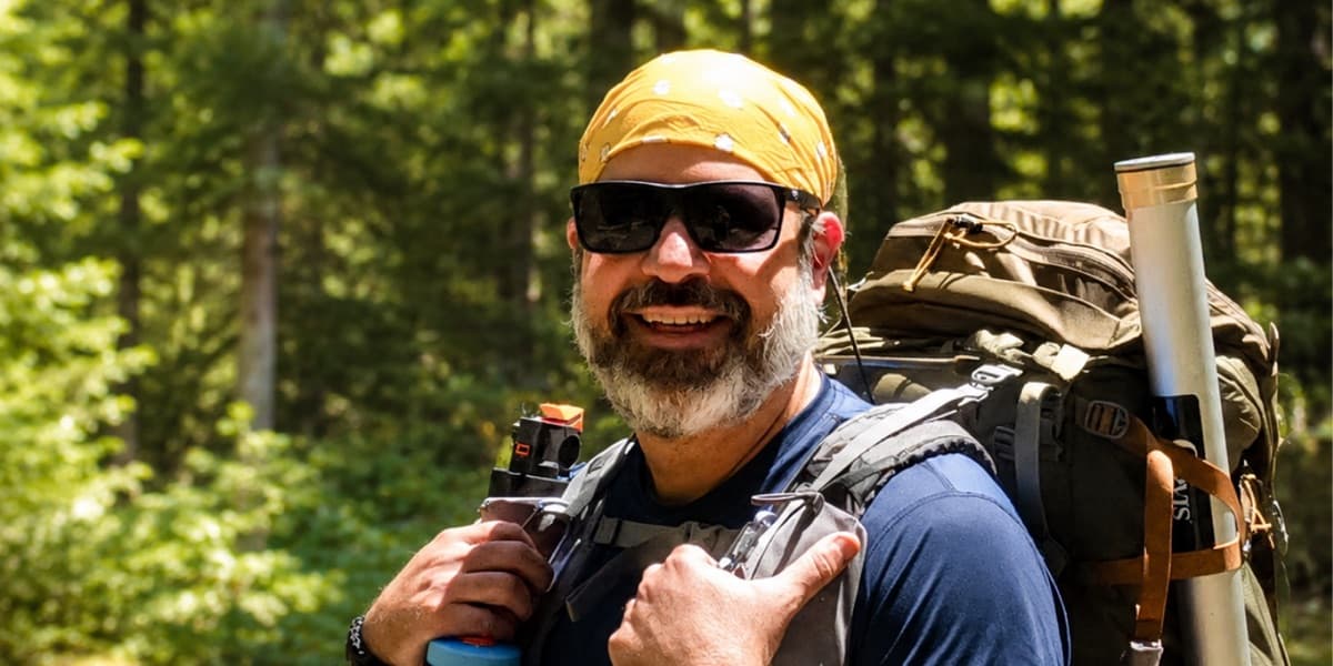
Backpacking with Matt Kessler.
A three-video series with professional wilderness guide Matt Kessler — trip planning, map-and-compass navigation, and the Topo Maps+ features you’ll actually use on the trail.
Watch the series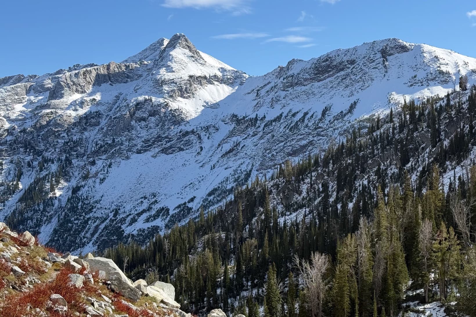
Featured guide
Planning a trip in the web app.
Follow along as I plan a real, ambitious off-trail route in the Eagle Cap Wilderness in the Topo Maps+ web app — rough idea to imported routes, backup camps, and a 3D walk-through — built on Matt Kessler’s planning framework.
Read the planning guide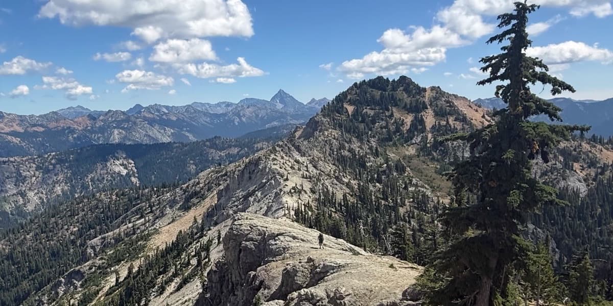
Featured guide
The Navigator’s Mindset.
Three questions every backcountry navigator should be able to answer at any moment — and the mindset behind Topo Maps+ itself. Written by Stephen, drawn from getting genuinely lost in North Idaho in 2007 and from a long line of navigators before him.
Read it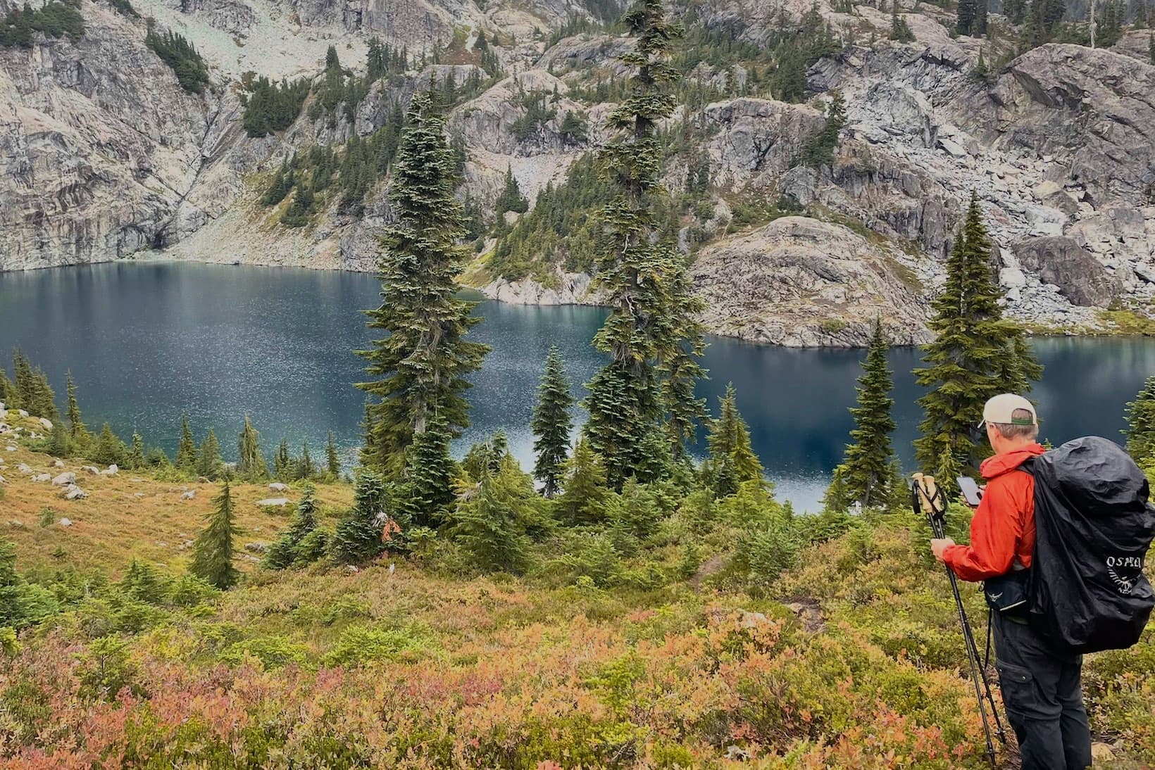
Featured guide
Make your battery last.
One of the most common questions I see: how do you keep a phone — and a watch — alive for a multi-day trip? The two things that actually drain the battery, and the exact settings I change on my iPhone and Apple Watch to get more days out of a charge.
Read the battery guide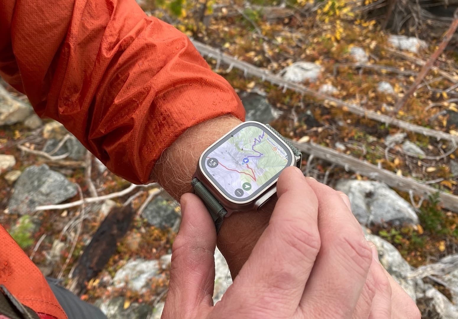
Featured guide
Navigate off your wrist.
I do about 95% of my backcountry navigation on my Apple Watch now. It’s a real map on your wrist — your synced routes and waypoints, Guide Me, offline maps, and track recording. What it can do, and exactly how I set mine up.
Read the Apple Watch guide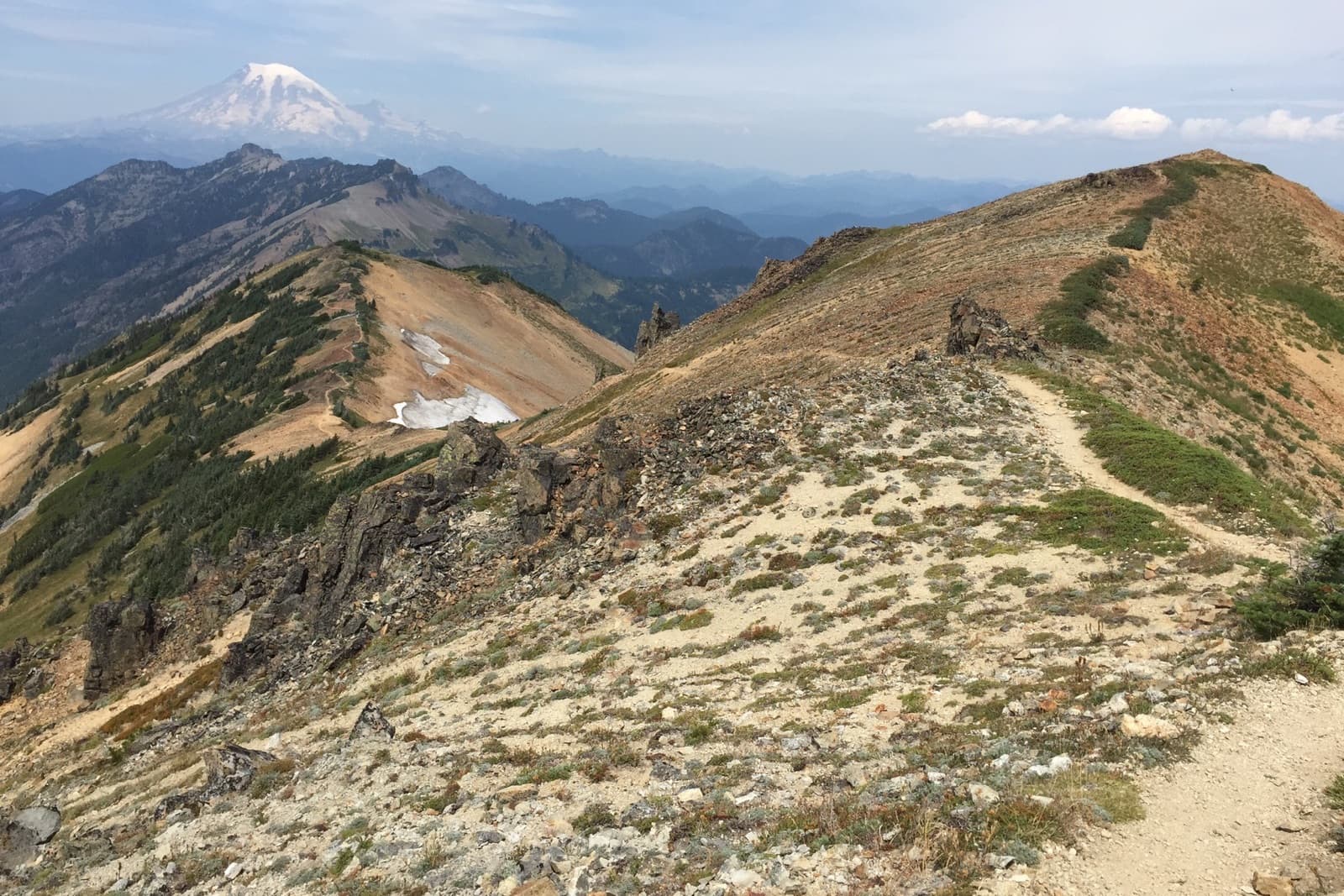
Featured guide
Don’t run out of water.
Getting water wrong is one of the fastest ways a good day turns dangerous. The two skills behind a real water plan — estimating how long a day will actually take from your own pace, then turning that time into liters, refills, and a bail-out you decide at the kitchen table.
Read the hydration guide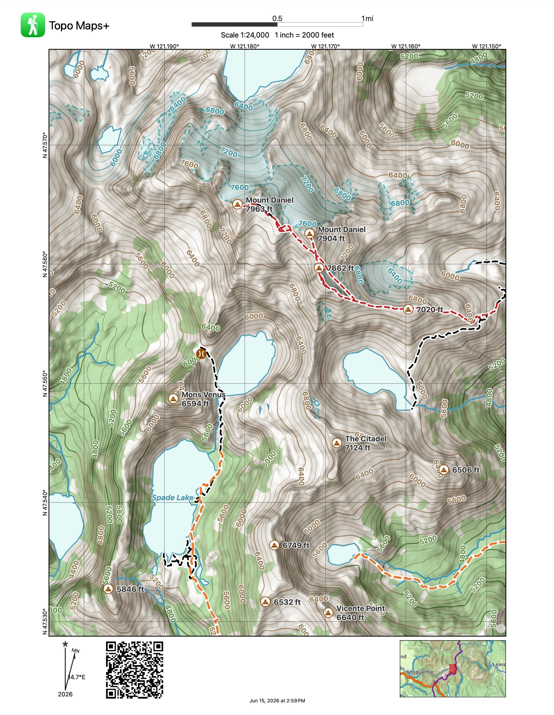
Featured guide
Print a paper backup.
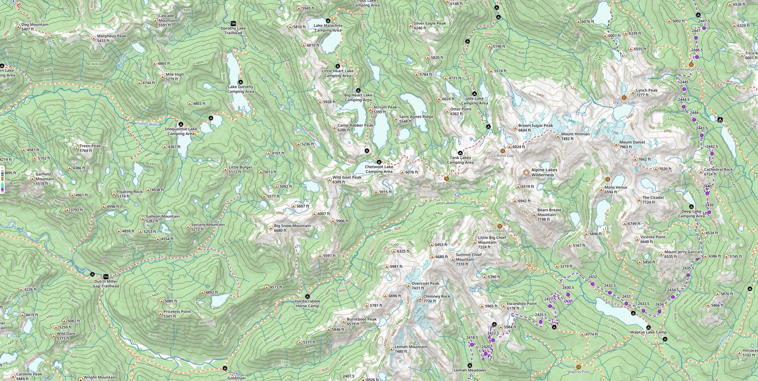
A printed map is the backup that can’t run out of battery — a real safety tool, not a souvenir. How Topo Maps+ prints a paper map that’s crisp at any zoom, with your routes, a coordinate grid, and declination on the sheet.
Read the printing guideFeature deep dives
Learn one feature all the way through.
Data Layers
Define what every waypoint, route, and area has to record — then style the map by what you collect. The whole feature explained, plus eight real field setups you can steal, and an honest comparison to ArcGIS Field Maps.
See how Data Layers workBring your own maps
Import the geoPDF maps you already own — from independent mapmakers, trail associations, or agencies — and navigate them offline with GPS, waypoints, and tracks. Your first 10 imports are free.
See how importing worksRecent updates
What’s new at Topo Maps+.
CartoTracks maps
Link your CartoTracks account and your premium off-road and event maps appear right in Topo Maps+ — on iOS, Android, Mac, and the web.
Connect your CartoTracks mapsTopo Maps+ v10
Our first vector basemap (Glacier Topo + Glacier Hybrid), ten activity-tuned map styles, and vector-sharp paper printing. Live on iOS, Mac, and Android.
See what’s in v10The web app is live
The single most-requested feature in Topo Maps+ history. Plan a trip in your browser, save live, and find it waiting on every device you own. Sign in with your existing account.
Open the web app or read about itMore coming
We’re adding guides as we have something worth saying.
We’re not running a content treadmill. New guides land when there’s something worth teaching — usually a feature that earns a real walkthrough, a workflow we’ve seen power-users build, or a brand piece like the Navigator’s Mindset. If there’s a guide you want to see, email us at support@topomaps.co. We read every one.
Try it
Best way to learn it is to use it.
Free to try in your browser. The 7-day free trial unlocks every feature.