
Free geoPDF import
Your maps deserve a good home.
Import the geoPDF maps you already own into Topo Maps+ — free. Navigate them offline with GPS, waypoints, and tracks, on iPhone, iPad, Android, Mac, and the web.
We don’t charge you to view a map you bought.

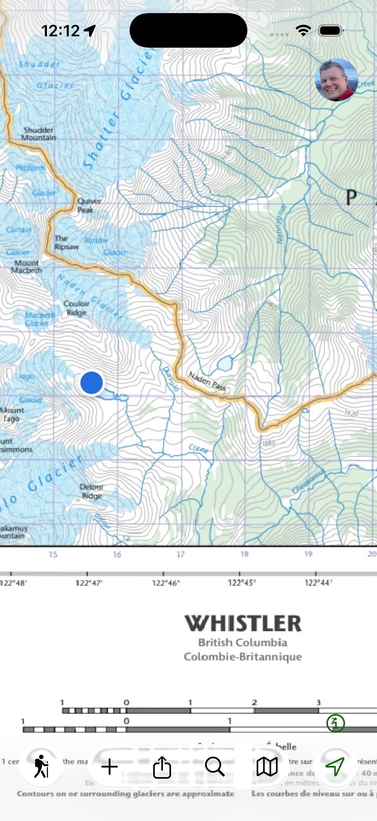

What happened
A lot of great maps just lost their home.
Avenza is refocusing on professional GIS work. The Avenza Map Store is winding down, publishers can no longer update their maps there, and free custom geoPDF imports have ended.
That leaves thousands of beautifully made maps — from independent mapmakers, trail associations, and agencies like the US Forest Service — and the people who bought them, looking for somewhere to go.
We think the answer should be simple: a map you bought is yours. You shouldn’t have to pay again just to open it.
How it works
Three steps, no catch.
About as long as it takes to download the file in the first place.
Get your geoPDF
From any mapmaker, trail association, or agency — or your own files. If you can download the file, you can bring it in.
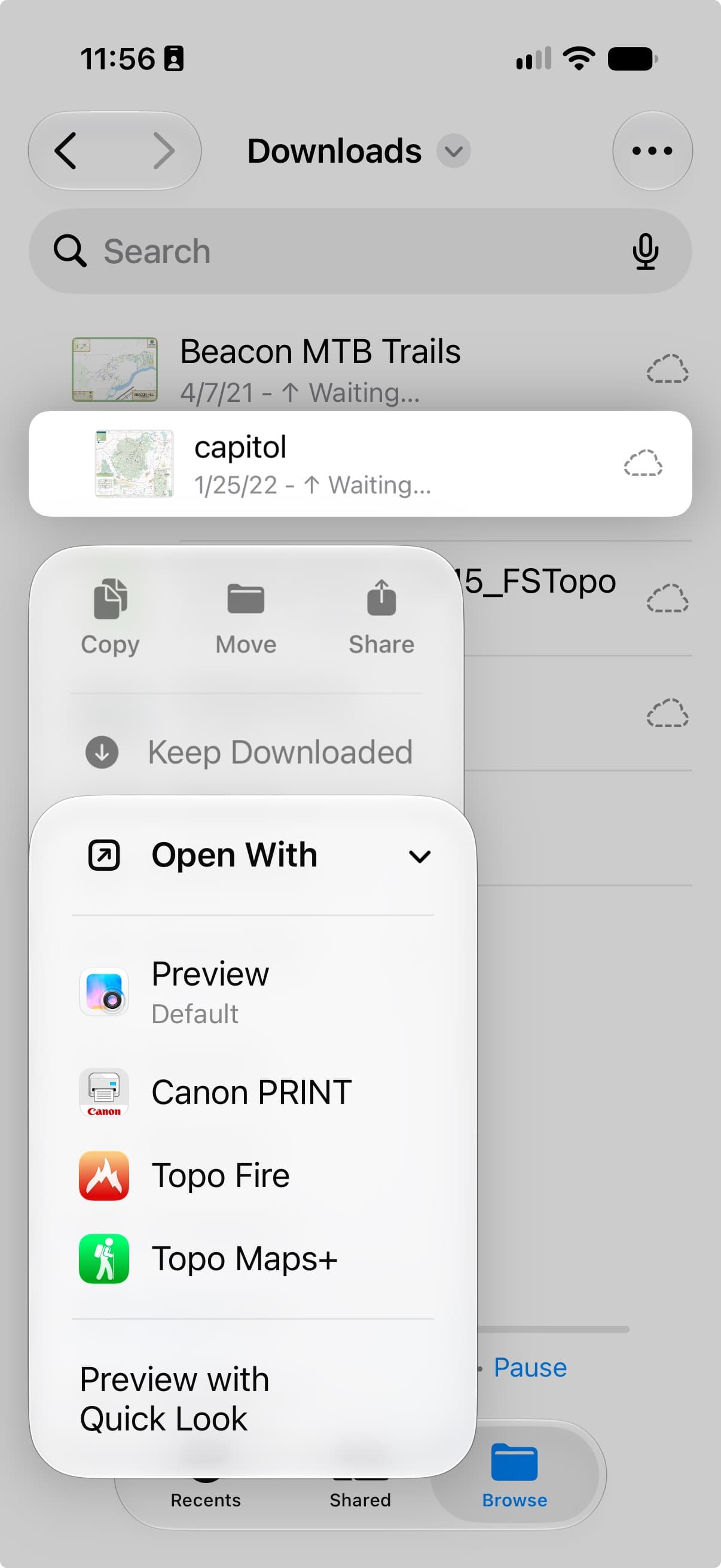
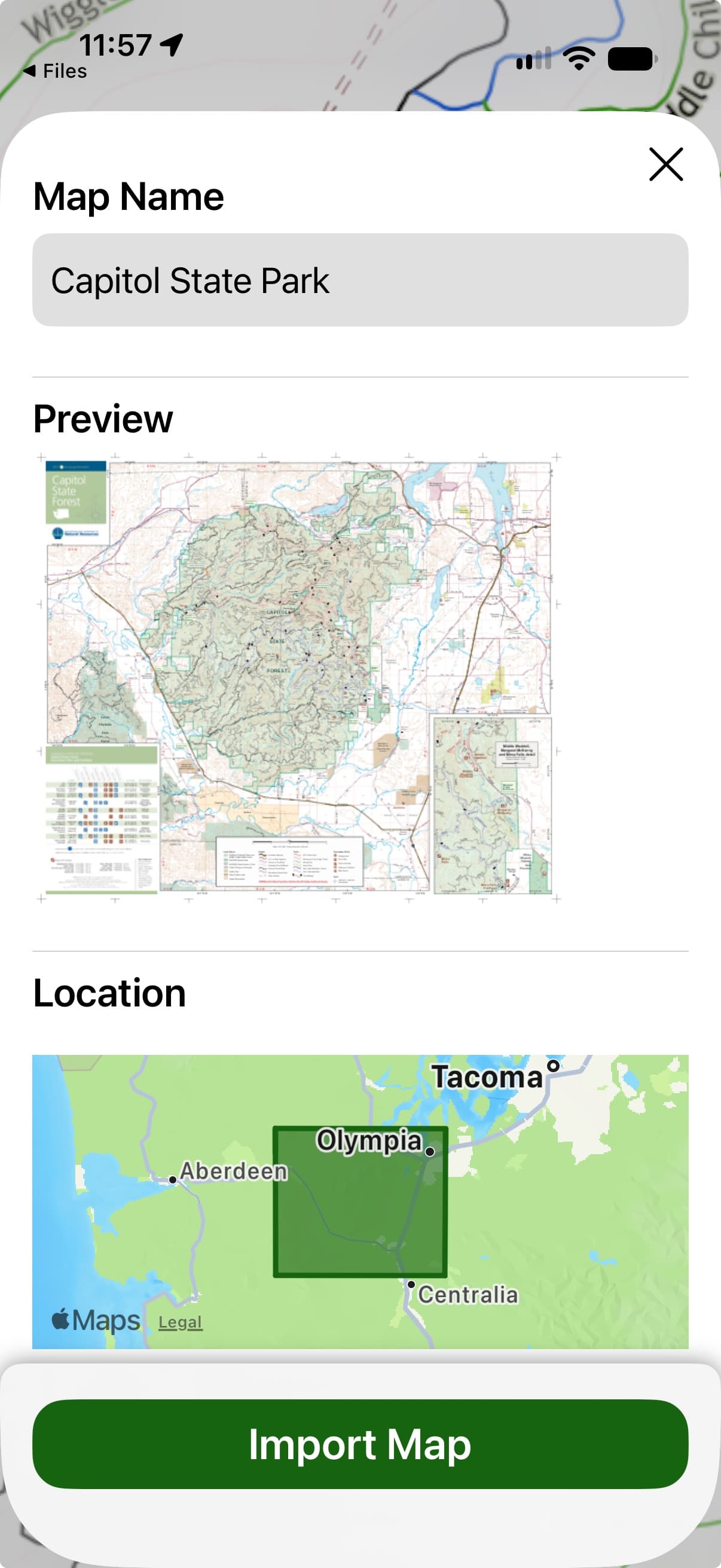
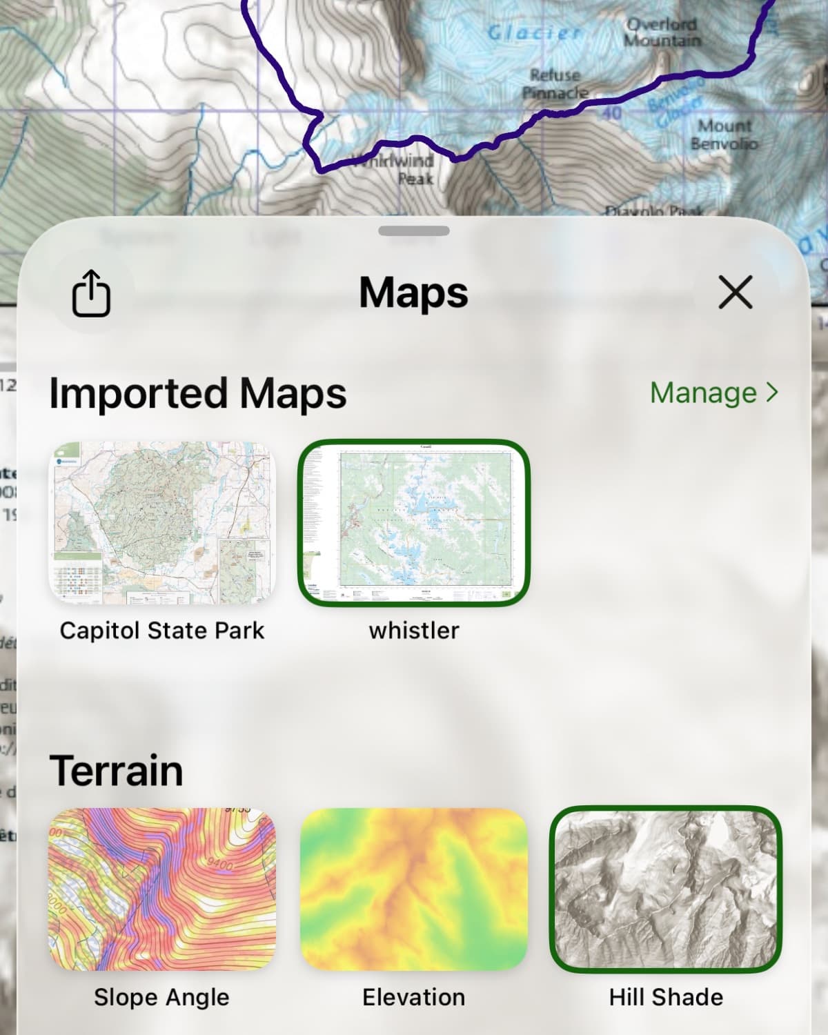
Import it into Topo Maps+
On your iPhone, iPad, Android, Mac, or in the web app. Your first 10 imports are free — no card, no trial clock.
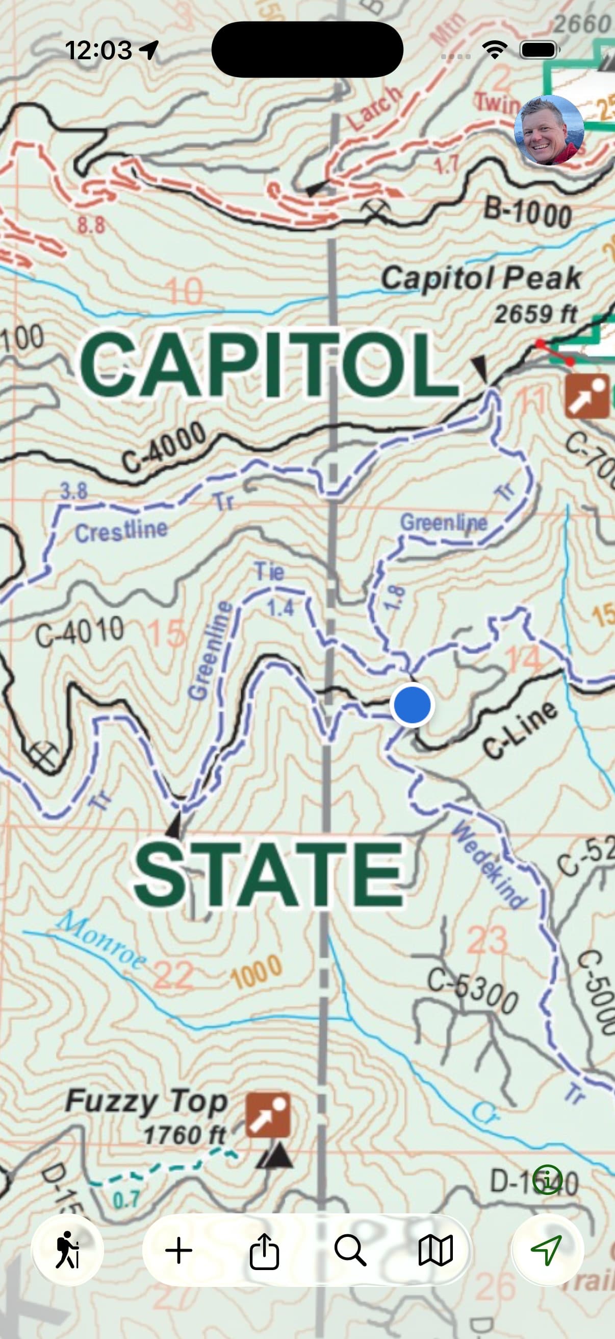
Navigate it like a real map
See your live GPS position on the publisher’s map, drop waypoints, record tracks, and use the whole thing offline — no cell service required.
The allowance
Free means free.
| Plan | Free custom geoPDF imports |
|---|---|
| Avenza Maps — Free | 0 |
| Avenza Maps — Plus (paid) | 20 |
| Topo Maps+ — Free | 10 |
Ten free imports covers most people’s entire map collection. No subscription required, no trial clock, no watermarks.
Avenza tiers from their published plans, August 2026.
The difference
More than a place to view them.
A dedicated geoPDF viewer shows you your imported map — your location, your waypoints, your tracks — and that’s where it ends. In Topo Maps+, your geoPDFs live inside a complete outdoor mapping app.
All your maps in one place
Flip between the mapmaker’s map and our full topo, satellite, and specialty layers for the same terrain. Your waypoints and tracks carry across every map you open.
The full toolkit around them
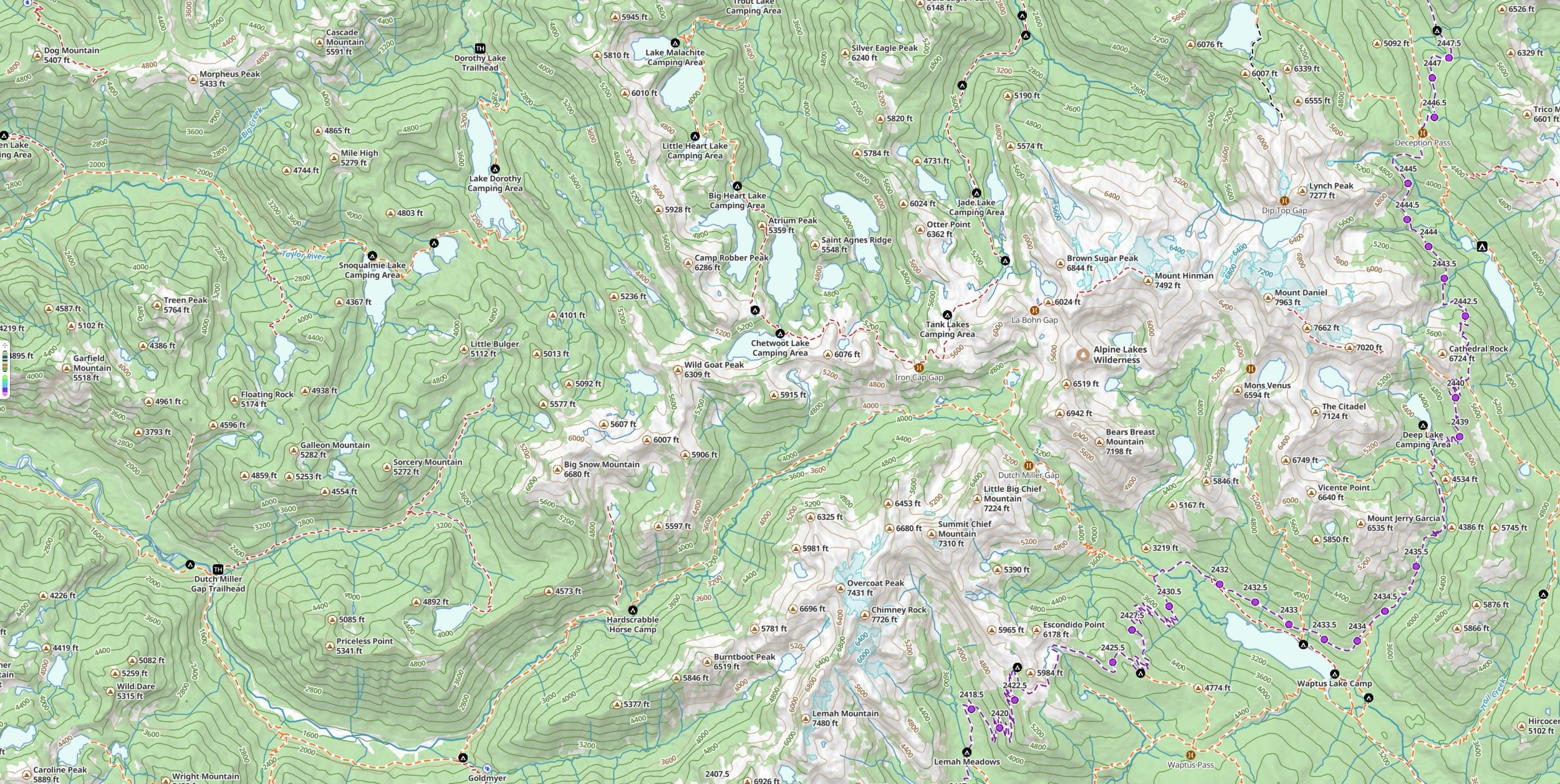
Route planning, track recording, Guide Me, proximity alerts, 3D terrain, slope shading, printable paper backups. Your imported map is a first-class layer, not a separate world.
One app for the whole trip
The publisher’s map for their coverage, our maps for everywhere else. No juggling a viewer app and a mapping app, and no second place to keep your waypoints.
Share it with the crew
Move an imported map to a Topo Maps+ team and everyone on the team gets it on their own devices — the same map, the same offline coverage, no re-importing.
Trusted where there’s no signal.
“Topo Maps+ saved my life. I fell through the ice at 7°F and used my waypoint to take the most direct route back to my truck.”— Jay, Great North Woods
★ 4.7 on the App Store · Proven in the backcountry since 2013
For mapmakers
Make maps? Your customers already have a home here.
If you sell geoPDFs, every customer you send us can open your maps free — today, with no integration on your side. Just tell them: “Works in Topo Maps+.”
And if you want more than compatibility, we build direct integrations too. CartoTracks connected their catalog to Topo Maps+ this year — their customers link an account and their maps appear in the app, ready to use offline.
FAQ
Importing your maps,
answered
What’s a geoPDF?
A PDF map with geographic data embedded in it, so an app can show your exact GPS position on the map. It’s the standard format for independent mapmakers, hunting-unit maps, event maps, and agency maps like US Forest Service Motor Vehicle Use Maps.
Is it really free?
Yes. Your first 10 imported maps are free — no trial clock, no card. Individual files can be up to 250 MB on the free plan, and 500 MB on Pro and Elite. If you import a lot, Pro raises the limit to 50 maps and Elite to 100.
Do I need a subscription to keep viewing maps I’ve imported?
No. The limit applies to importing new maps, not to maps you already have — nothing you’ve imported gets locked or deleted if you never subscribe, or if a subscription lapses. Deleting a map you no longer need frees up a slot for a new one.
Which devices can import a geoPDF?
iPhone, iPad, Android, Mac, and the web app at maps.topomaps.co — the same 10 free imports on every one of them. Android also takes an .mbtiles map package you already have.
I bought maps in the Avenza Map Store. Can I bring those?
Usually not directly — most Map Store purchases are copy-protected and only open inside Avenza’s app. Importing requires a true geoPDF file. The good news: many publishers sell their maps directly as geoPDF files, and buying from the mapmaker’s own site gets you a file you’ll always own, in whatever app you choose.
What about maps from a specific publisher?
Any publisher’s geoPDF works — there’s nothing for them to set up. Some partners, like CartoTracks, have a direct integration where you link your account and your maps appear in the app automatically. More are coming.
Does it work offline?
Completely. An imported map lives on your device, so it keeps working with no signal — which is rather the point.
Bring them over
Bring your maps. Keep your tools. Go.
Topo Maps+ is free to start. Import your first map in the next five minutes.