

Map integration
CartoTracks maps, now in Topo Maps+.
Some of the most detailed off-road maps in the country, linked to your Topo Maps+ account in a single click — offline on your phone, and ready for trip planning on the web.
Who is CartoTracks
The off-road maps offroaders trust.
CartoTracks builds some of the most detailed, accurate off-road maps for the country’s most popular off-road destinations — the trail systems, OHV areas, and backcountry routes people actually ride. They also offer select hiking maps in the Southeast, but off-road is where they’ve made their name.
Now that detail lives inside Topo Maps+, alongside the off-road tools and the rest of the map library you already use.
See the maps
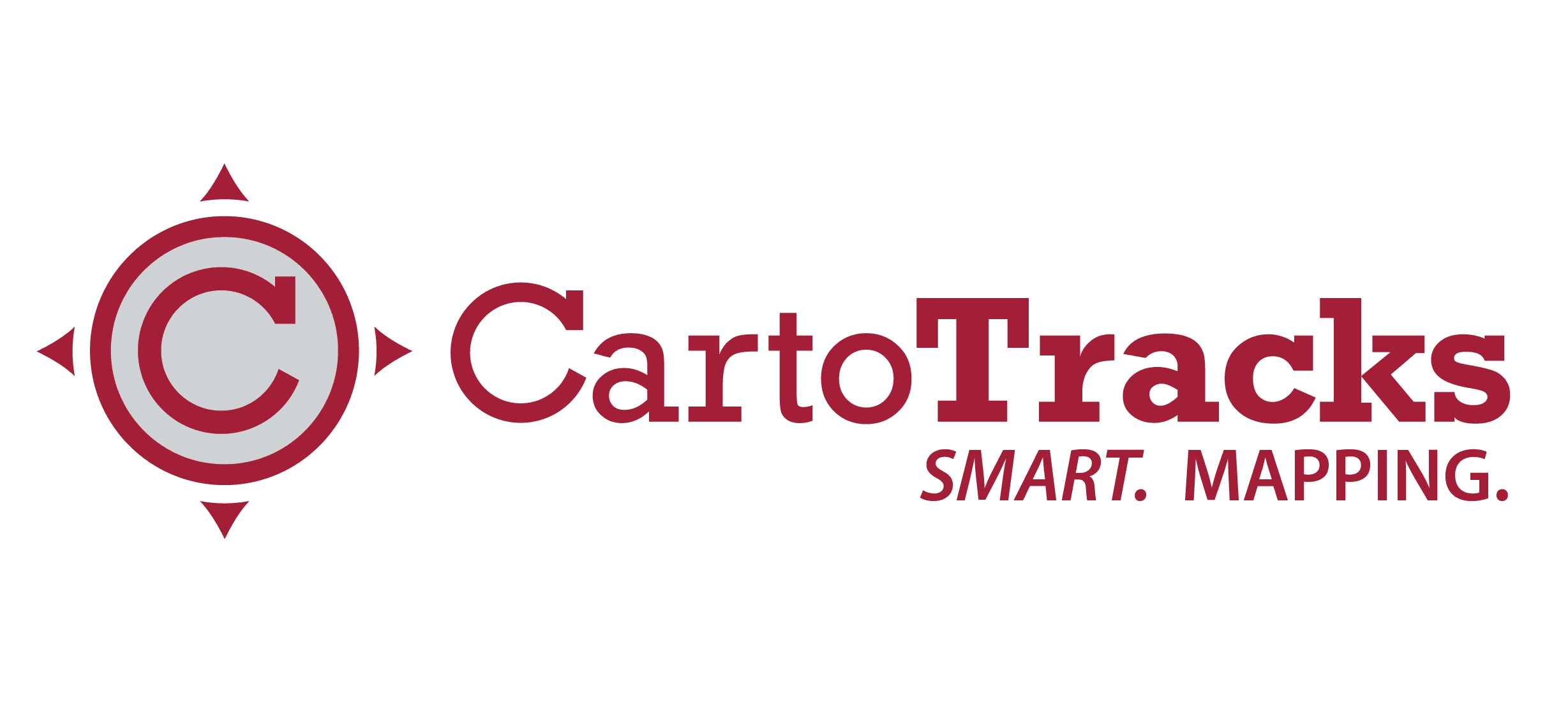
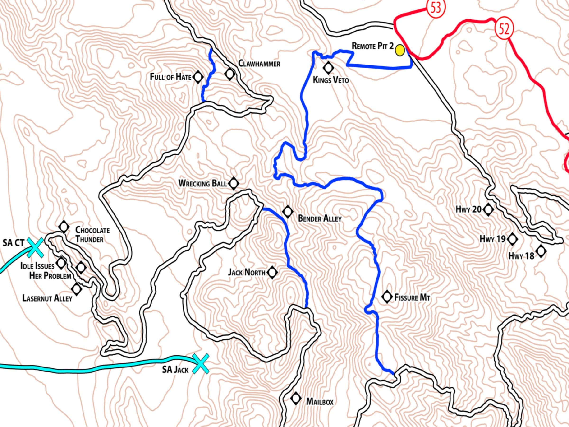
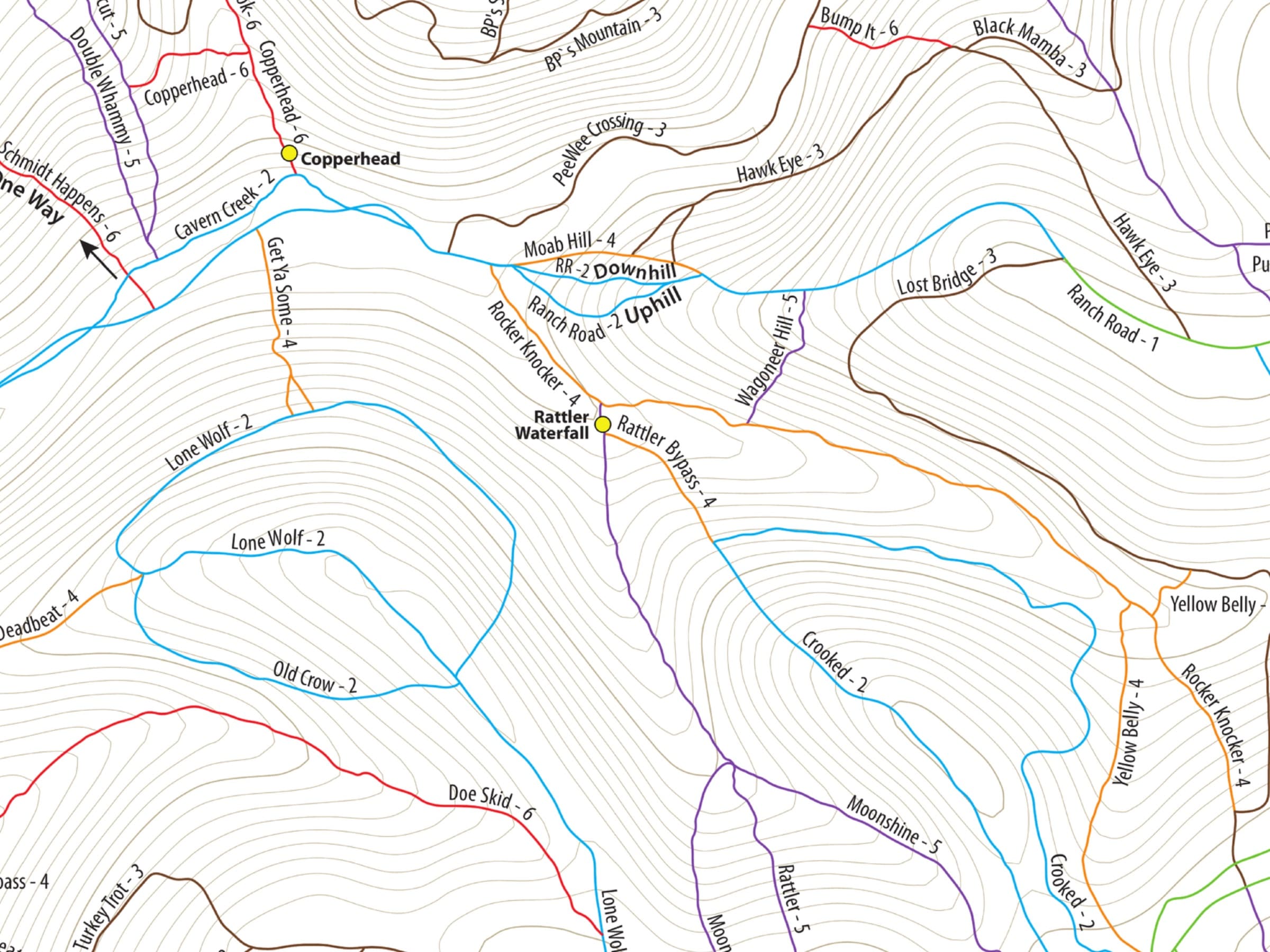
Detail where it counts.
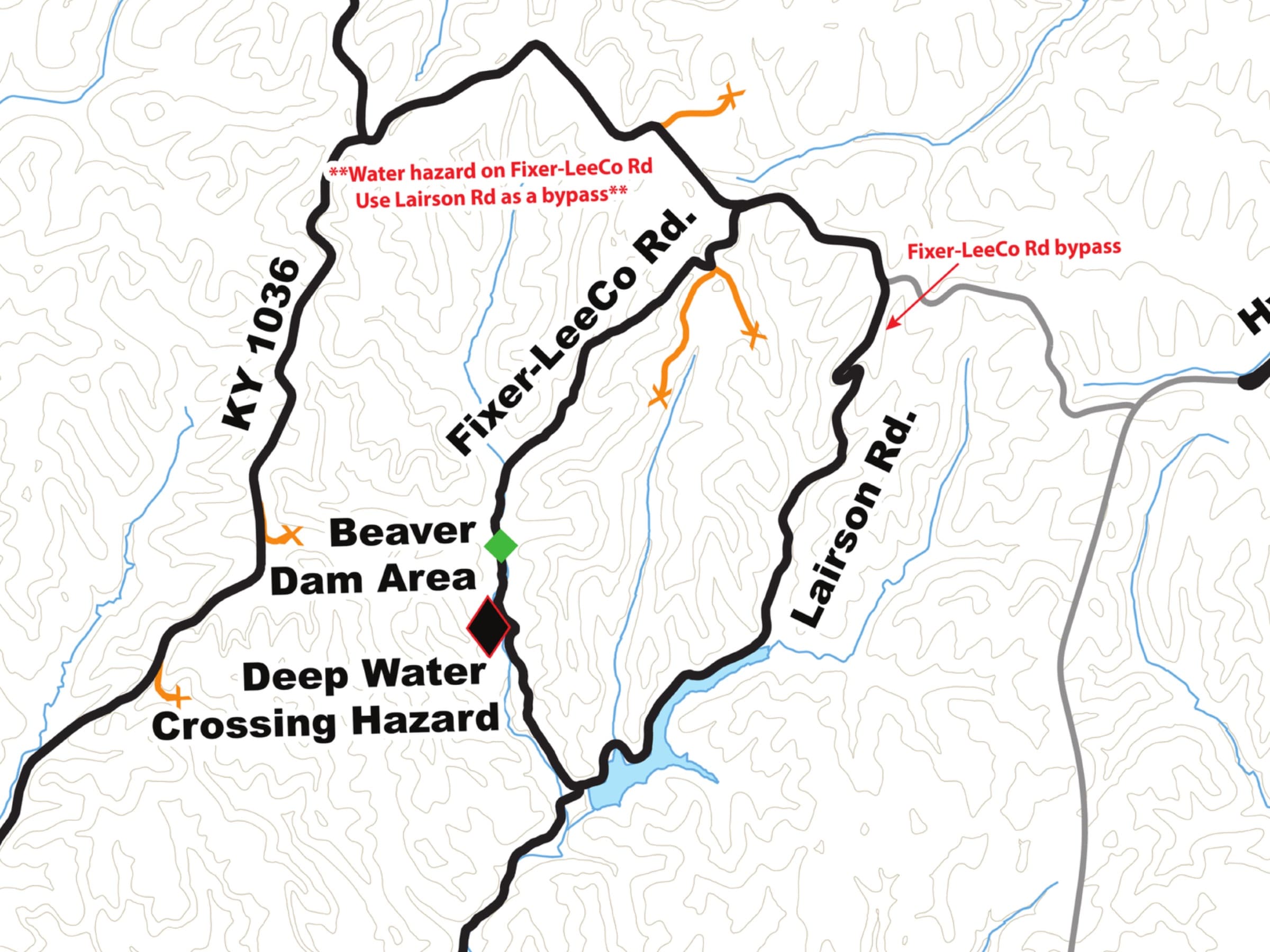
A look at CartoTracks’ off-road mapping, rendered in Topo Maps+ across a few of the areas offroaders know best.
How it works
Linked in one click.
No new account, no codes to copy. Connect CartoTracks to Topo Maps+ once, and your maps follow you everywhere.
Connect your account
In your CartoTracks account, one button links it to Topo Maps+. No codes to copy, no re-entering anything.
Your maps unlock
Topo Maps+ unlocks the CartoTracks maps you already have access to. Nothing to buy again — your existing maps simply show up.
Take them anywhere
Download them for offline use on iPhone and Android, or open them in the Topo Maps+ web app to plan your next trip on a big screen.
Better together
Your maps. Everywhere you offroad.
Fully offline in the field
Your CartoTracks maps download to your iPhone or Android, so they keep working deep in the backcountry with no signal — right where off-road navigation actually happens.
Plan on the big screen
Open your CartoTracks maps in the Topo Maps+ web app to sketch routes, measure distances, and scout the trip before you air down.
Nothing to re-buy
The maps you already own on CartoTracks carry straight over. Linking your account is all it takes.
All your maps in one place
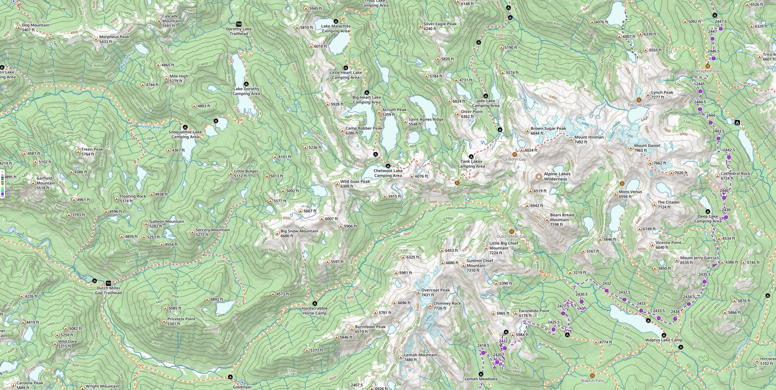
Use CartoTracks’ detail alongside the rest of the Topo Maps+ off-road toolkit — MVUM and forest roads, route planning, waypoints, and printable paper backups.
Want the step-by-step? Read the full setup guide →
Get started
Bring your CartoTracks maps along.
Link your CartoTracks account and your maps come with you — offline on iPhone and Android, and on the web for planning. New to Topo Maps+? Start with the free map.