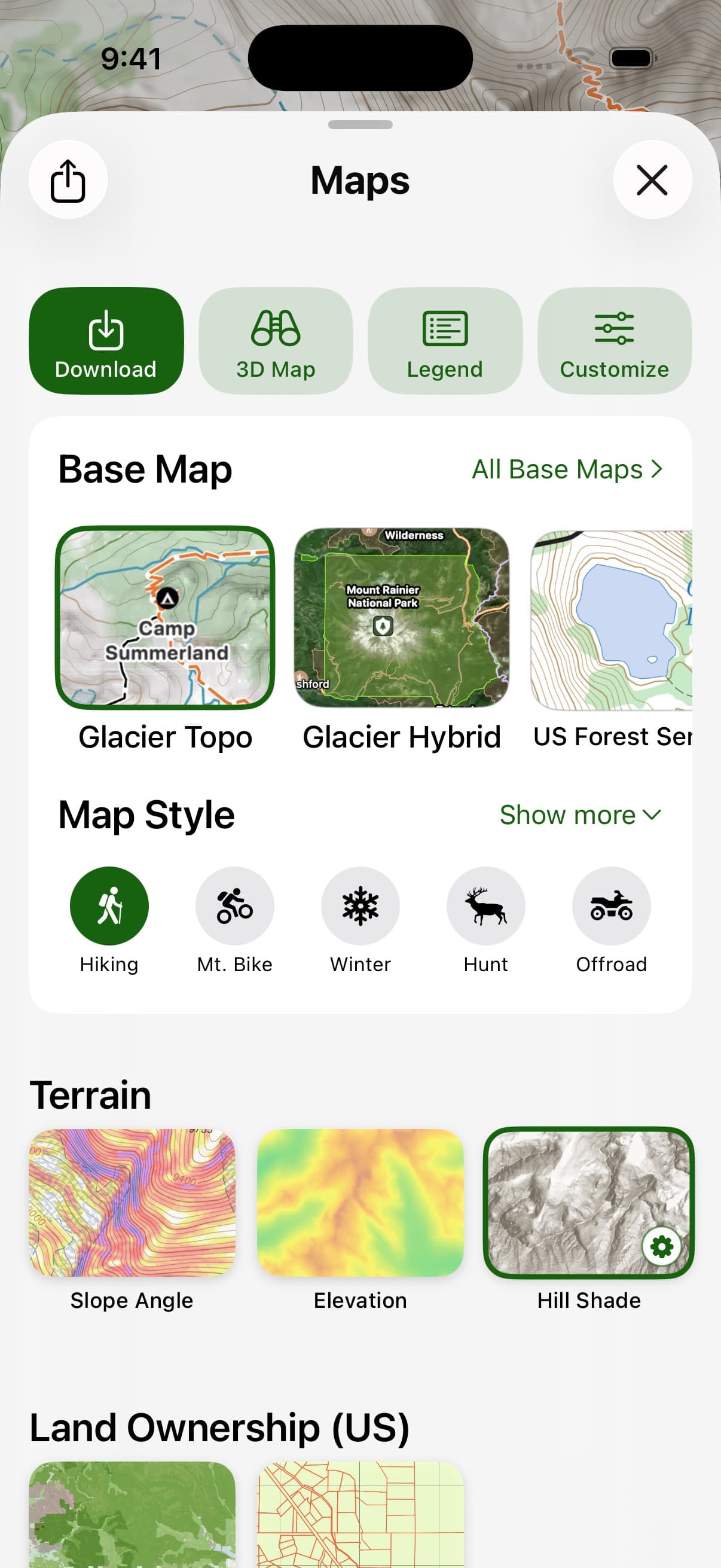
Maps & map styles
Built for what you do. Layered for what you need.
10 activity-tuned map styles. 7 overlays you can stack. The deep base-map library serious users rely on, always there if you want it. All fully offline.

Pick an activity
Tuned for how you actually go outside.
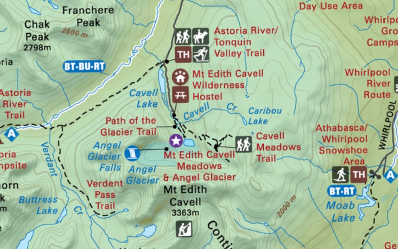
Each style starts with the right base maps for the job — plus the right overlays, labels, icons, and POI filters on top — so you can stop fiddling with map settings and start moving.
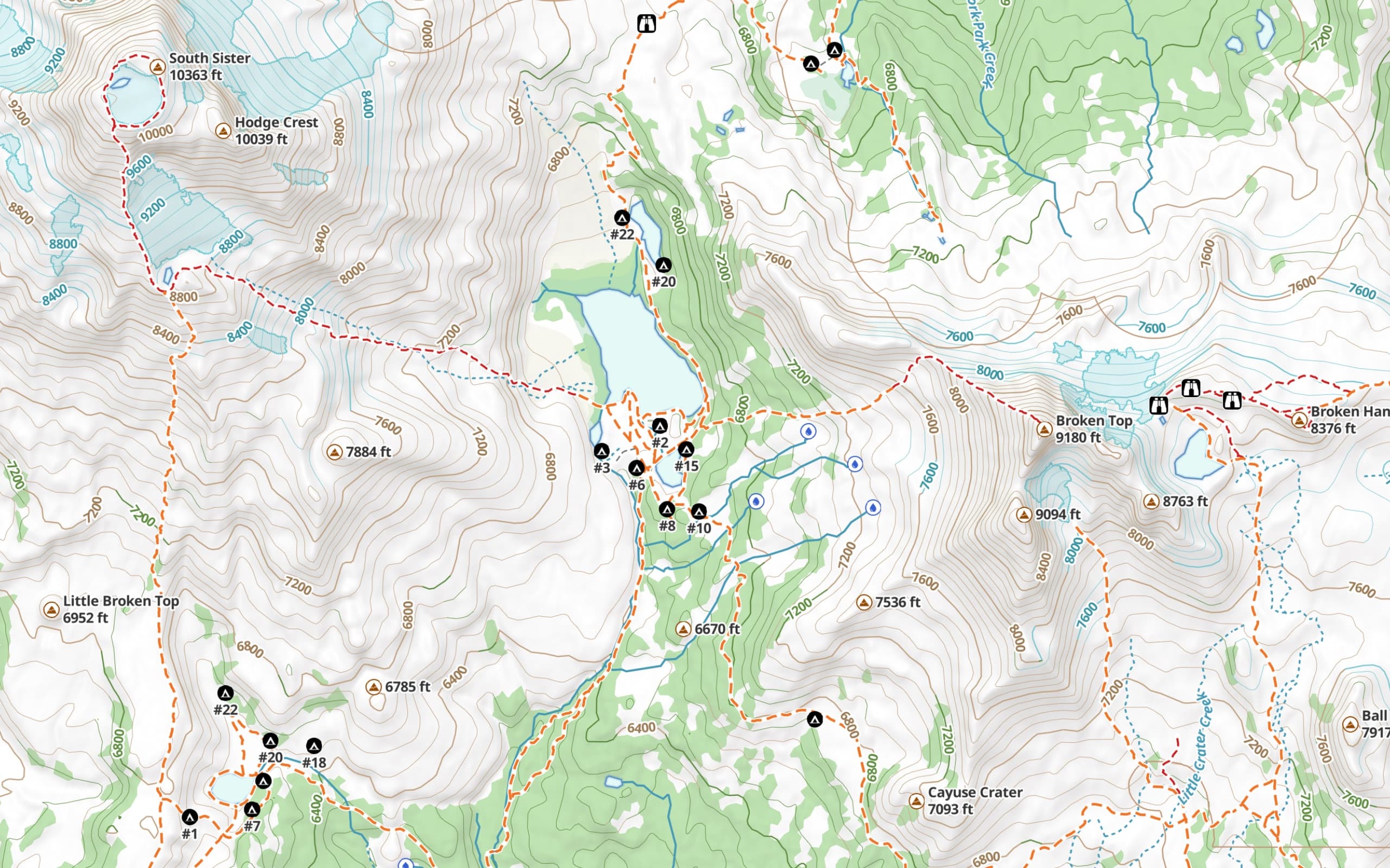
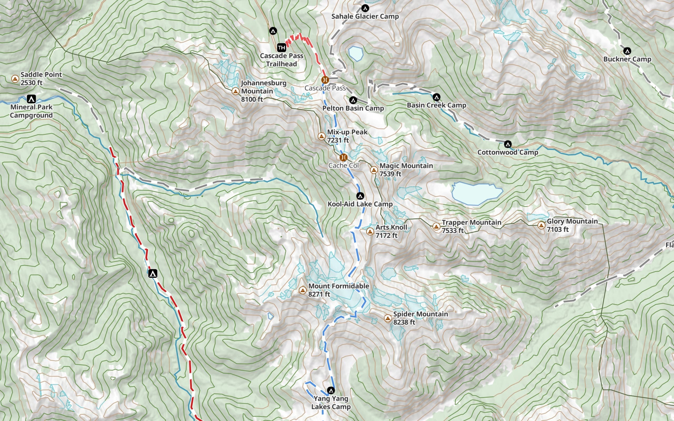
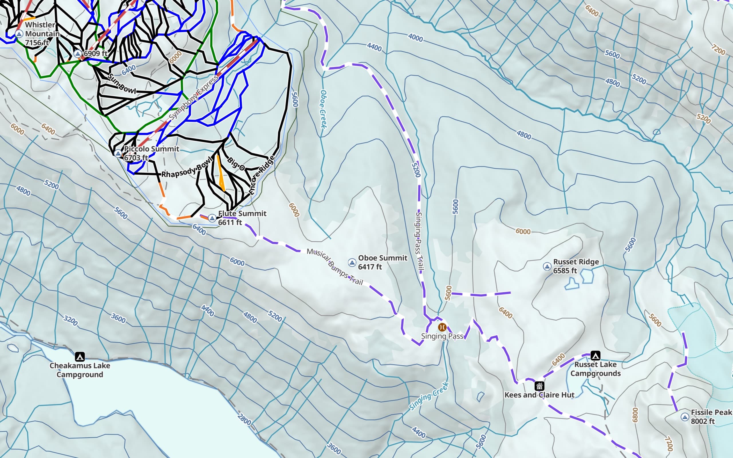
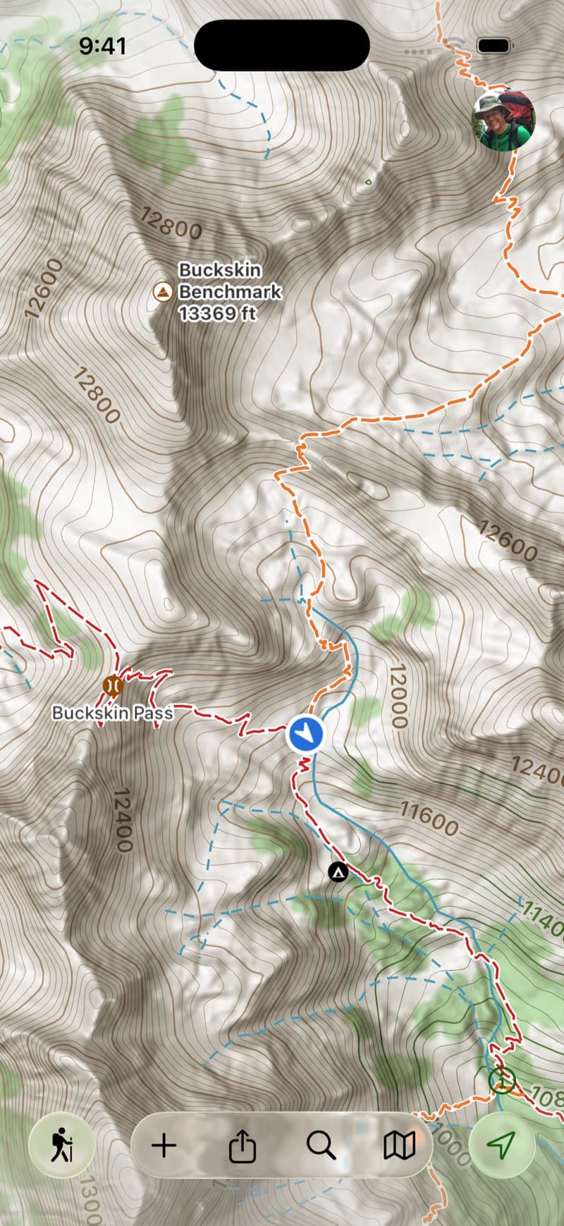
Hiking
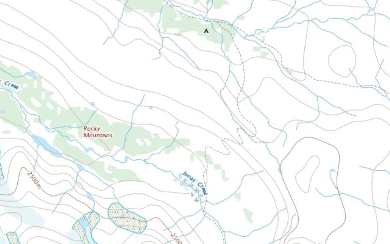
Trails, topo detail, and water sources. The everyday default for foot travel.
Alpine Hiking
Trails color-coded by the SAC alpine hiking scale; tap any trail to see its SAC rating with a short explanation of what it means.
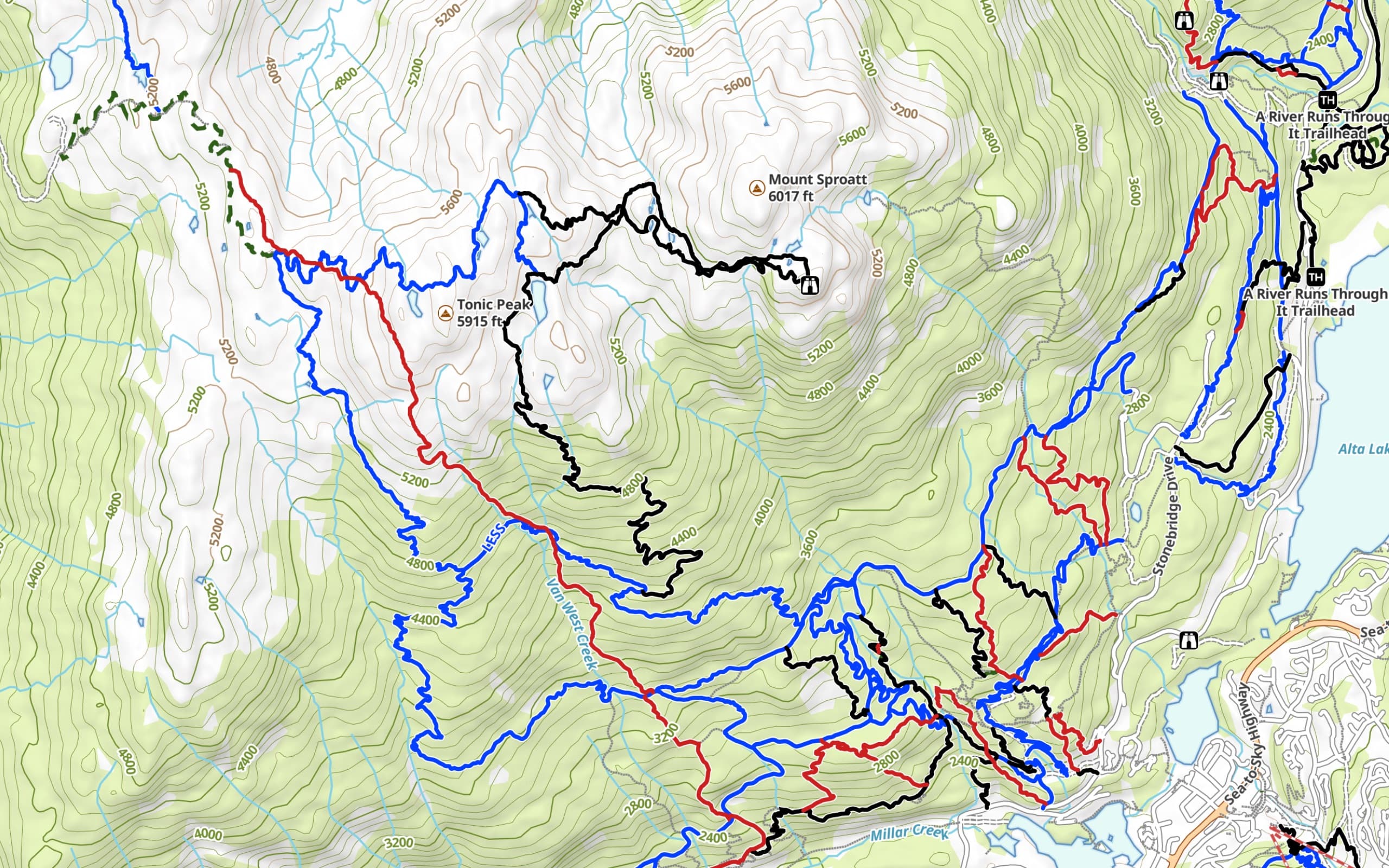
Mountain Biking
Trails filtered to where bikes are allowed and color-coded by difficulty. Trailheads filtered to the ones that lead to bike-legal trails.
Winter
Resorts and routes, set up for downhill and nordic.
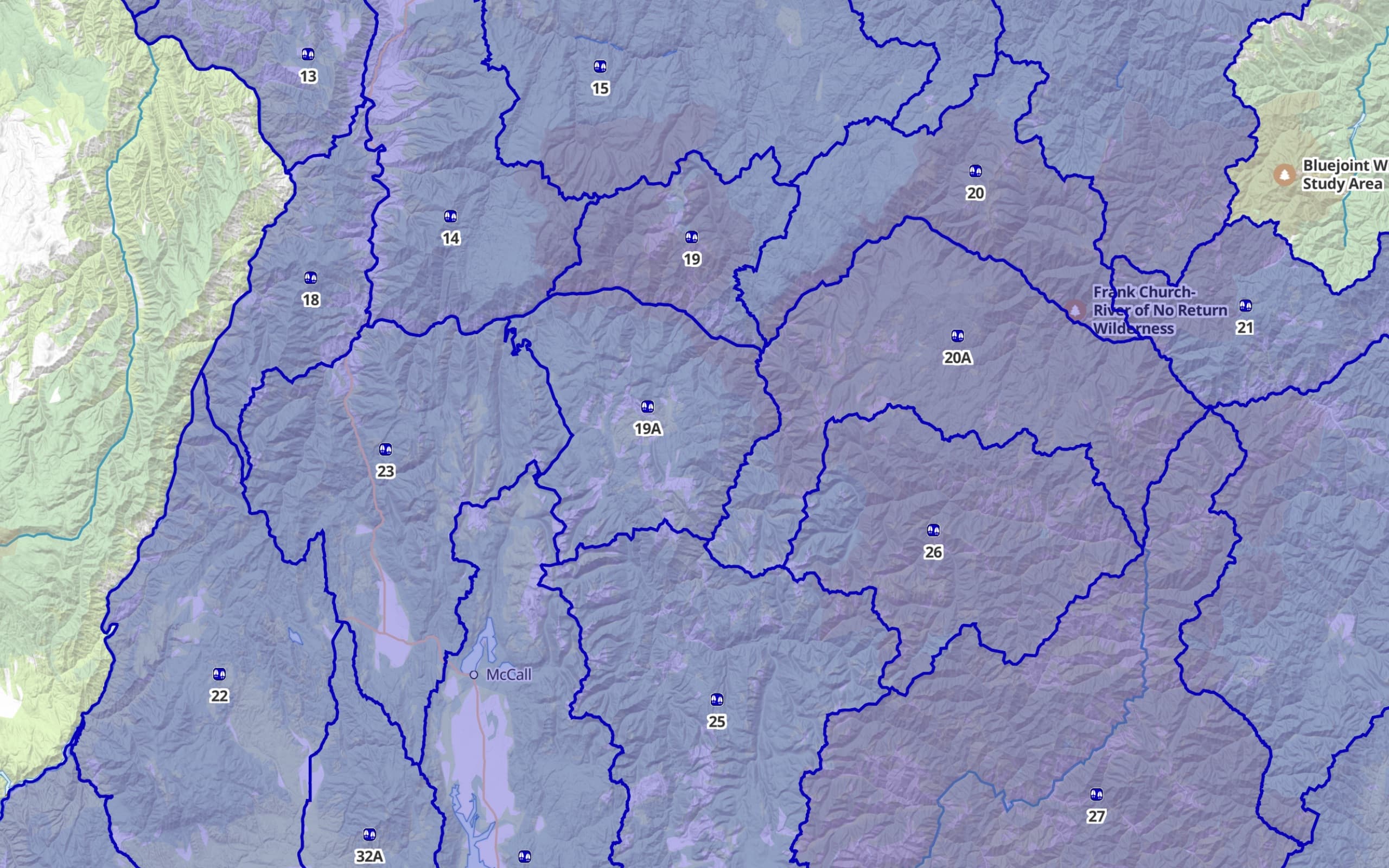
Hunting (US & Canada)
EliteHunting-unit overlay turned on, plus the land and POIs around hunting. A more granular US public-land overlay is available too if you want finer detail.
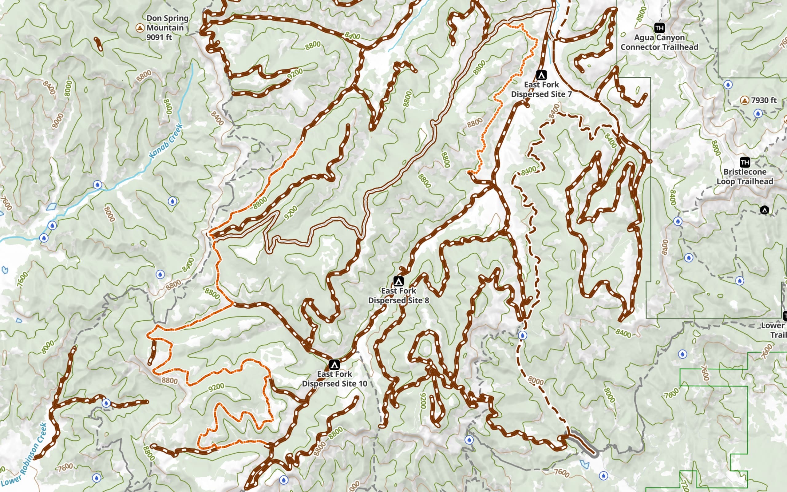
Offroad (USA)
Forest roads, MVUM, and trail networks for trucks, jeeps, and UTVs.
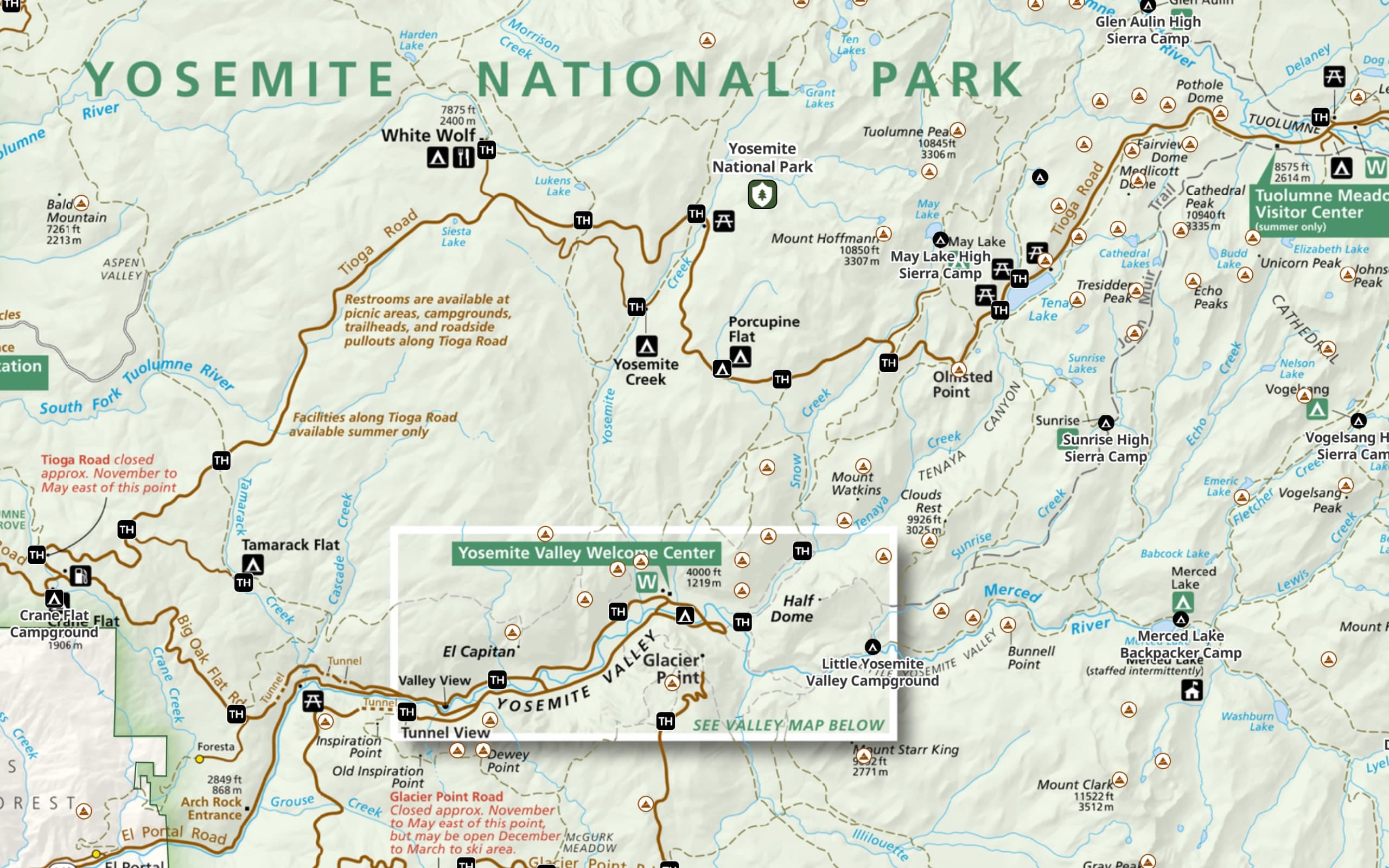
National Parks (USA)
The official park map overlaid on top of the base map, for many US national parks.
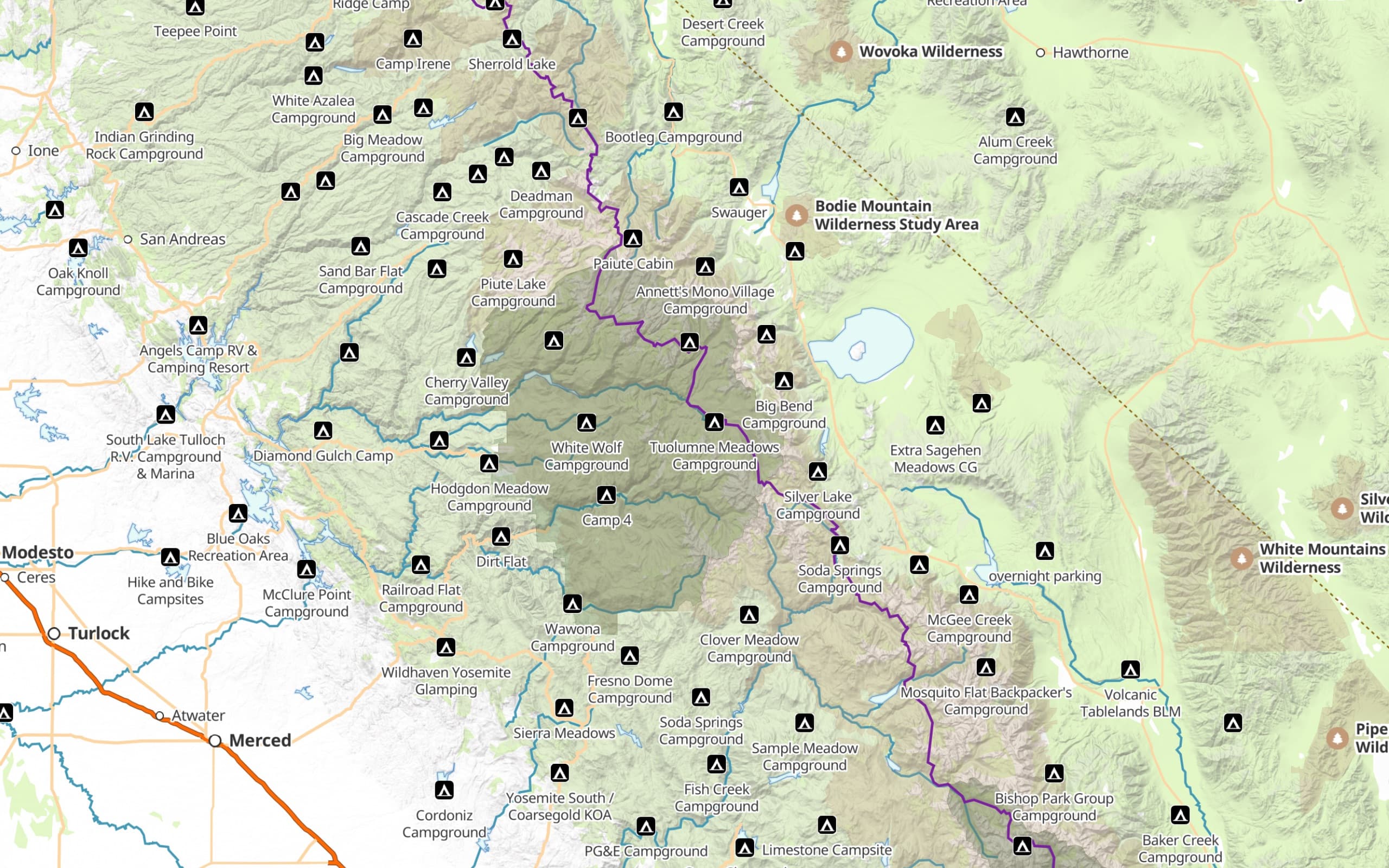
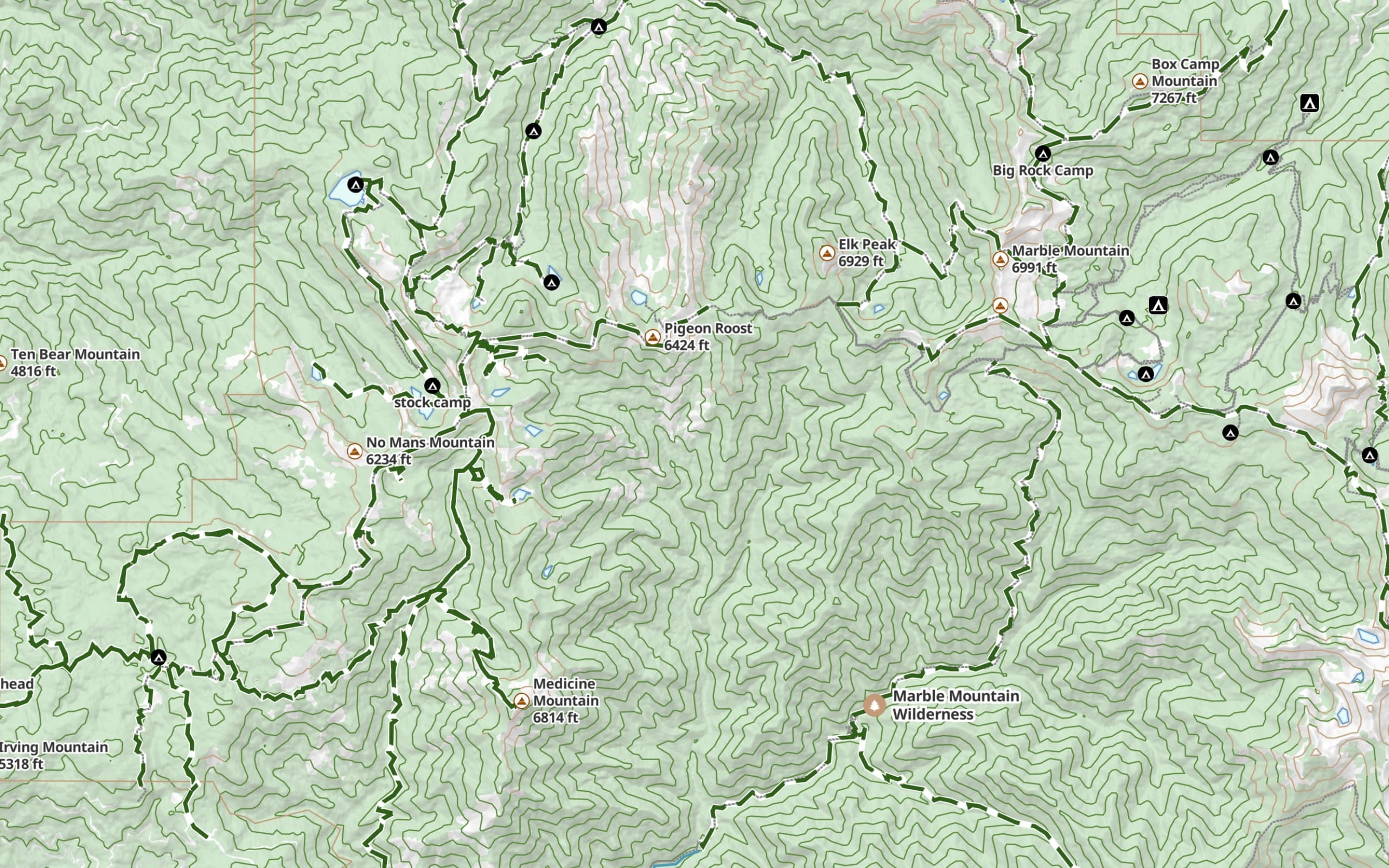
Camping
Campgrounds called out clearly even when you’re zoomed out, so you can spot where to stay at a glance.
Horse Riding
Trails labeled with whether horses are allowed.
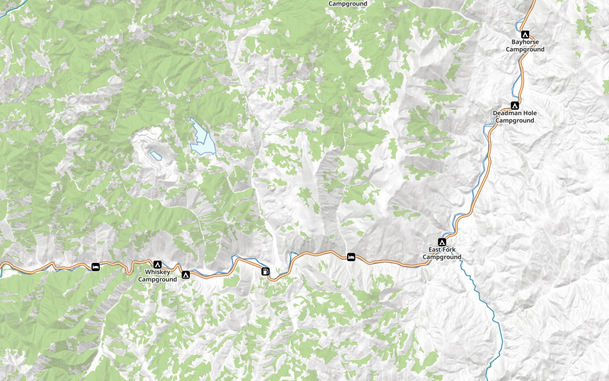
Driving
Roads and routes for getting you to the trailhead.
Trail access, difficulty, and conditions can change. It’s on you to verify before you head out.
Stack on what matters
Layer on the detail you need.
Drop any overlay on top of any base map. Combine them however you want, and customize the ones that matter to you.
Slope Angle
ProAvalanche-aware shading and steepness for winter, alpine, and anywhere the terrain goes vertical.
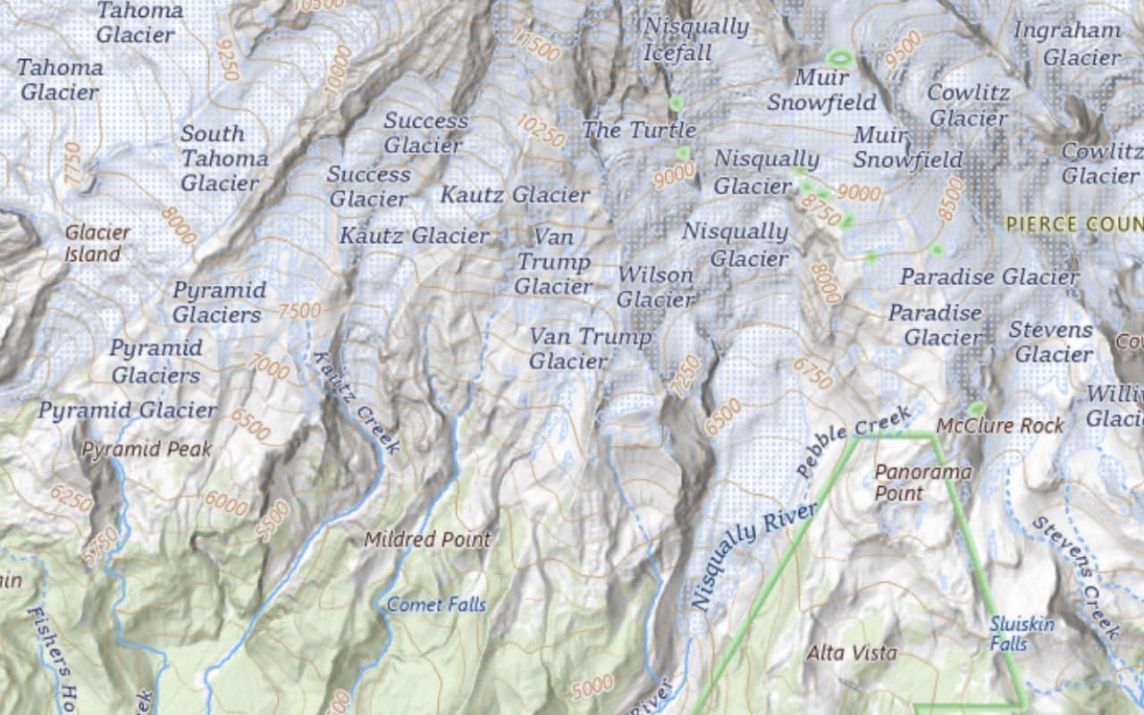
Hill Shading
ProTerrain depth that makes a topo read like a 3D model at a glance.
Elevation Heat Map
ProColor-coded by elevation, with a custom range you set — hunters highlight likely elk country; skiers find alpine zones; you’ll use it for whatever you’re chasing.
Coordinate Grid
ProUTM and lat/lon for precise comms, plotting, and trip planning.
US Public Land
EliteBLM, USFS, NPS, state, and more.
US Private Land
EliteParcel boundaries and ownership.
Distance Rings
ProCustom rings around any point for radius checks.
“Awesome choices of map styles, tons to choose from.”— App Store review
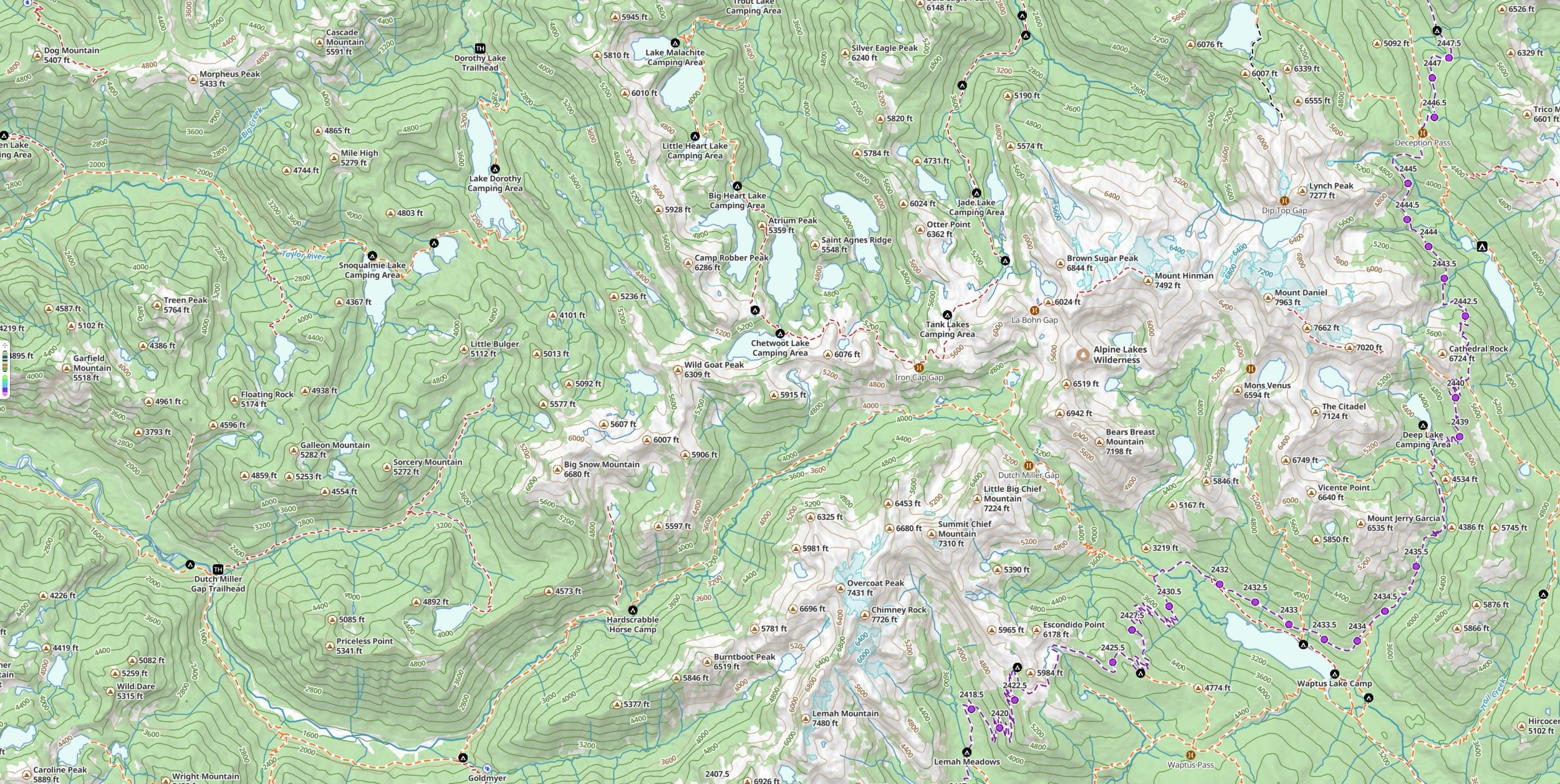
Base maps
Pick your own base map, anytime.
Worldwide coverage everywhere, plus the official government and regional maps locals trust. Each activity style picks the right one for the job — switch to any of these whenever you want.
Worldwide
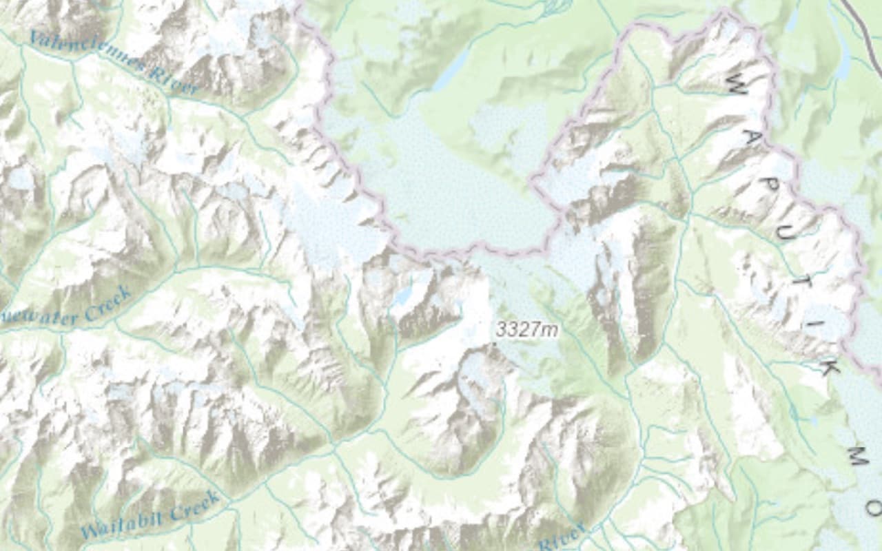
Glacier Topo
Our new go-to. A clean, modern outdoor topo that works worldwide.

Worldwide
Glacier Hybrid
Glacier Topo layered over satellite imagery. Excellent for visualization and 3D.
Select US regions
US Forest Service (USFS)
Excellent detail wherever it has coverage. The right call for national forests and wilderness areas.
United States
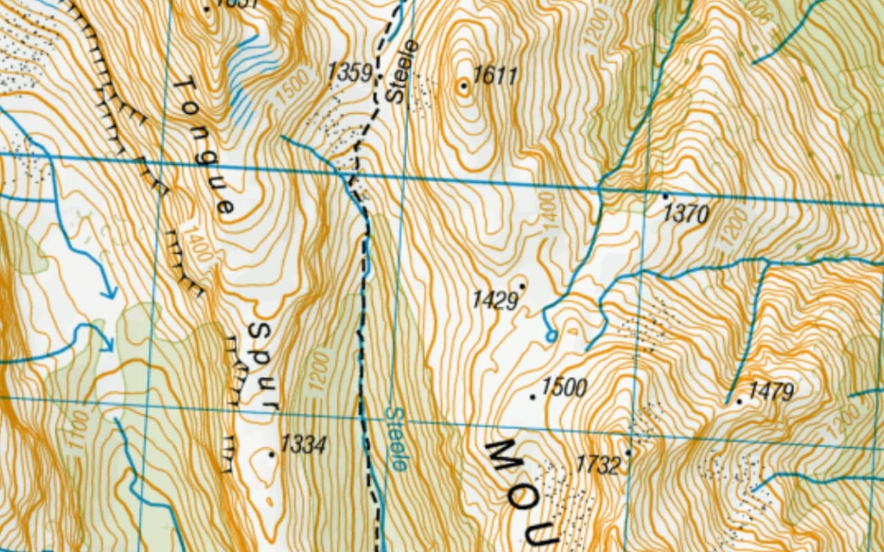
USGS Topo
The long-standing classic for US hikers.
United States
US National Map
The USGS National Map — a modern national base map for the US.
Select US regions
Benchmark
The Benchmark printed-atlas maps — loved by RVers for road trips and finding the trailhead. Partial coverage: the western US, Alaska, BC, Baja, the Appalachians, and New England.
Canada
Natural Resources Canada (NRCan)
Official Canadian government topos.
Canada
Backroad Mapbooks (BRMB)
The map a lot of Canadians explore with — lower zoom levels, but unmatched outdoor coverage of Canada.
New Zealand
Land Information New Zealand (LINZ)
Official outdoor topos from the NZ government.

Great Britain
Ordnance Survey
Official outdoor topos for Great Britain, from the Ordnance Survey.
Worldwide
ESRI Topo
A clean, worldwide topographic base map from ESRI.
Worldwide
Satellite (ESRI & Mapbox)
Two high-quality satellite sources for visualization.
Take it offline
Download once.
Navigate forever.
Save any region for offline use — every map style, every overlay, all of it. A custom rectangle for one trip, or whole areas you come back to year after year. Once it’s on your device, no cell tower decides whether you can navigate.
“Worked like a charm every time with no exceptions.”— App Store review
FAQ
Maps, overlays, and coverage
Do the maps work without cell service?
Yes. With a Pro plan you can download any region for offline use — every map style and every overlay saves to your device, so navigation works in airplane mode with no signal. Once a region is on your device, no cell tower decides whether you can navigate.
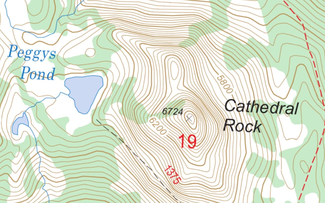
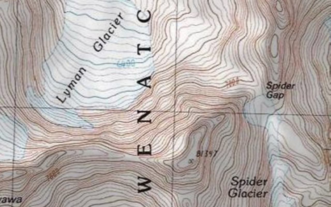
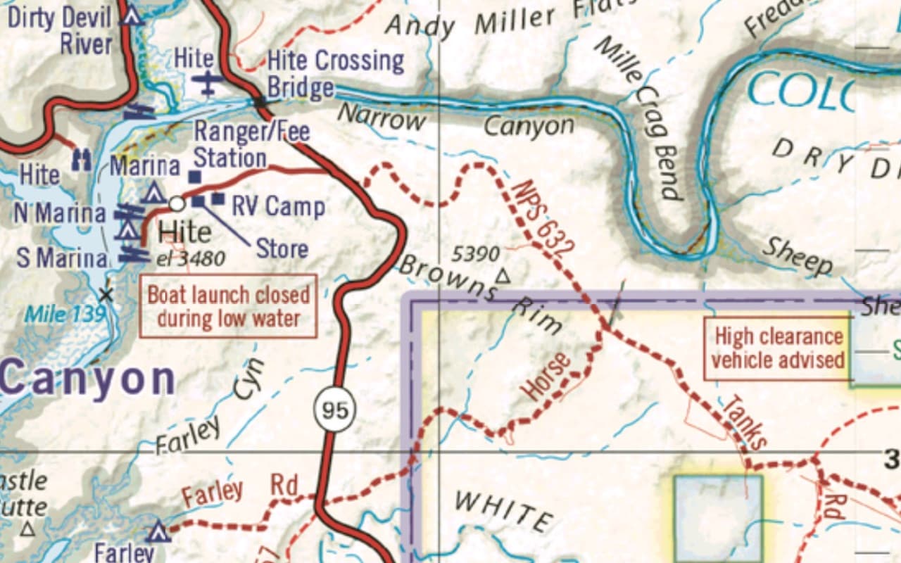
What kinds of maps does Topo Maps+ include?
There are 10 activity-tuned map styles (hiking, alpine hiking, mountain biking, winter, hunting, offroad, national parks, camping, horse riding, and driving) built on a deep base-map library — including Glacier Topo and Hybrid worldwide, USFS, USGS Topo, the USGS National Map, Benchmark, NRCan and Backroad Mapbooks for Canada, LINZ for New Zealand, Ordnance Survey for Great Britain, ESRI Topo, and satellite imagery.
Can I stack overlays on top of the maps?
Yes. Seven overlays stack on any base map: Slope Angle, Hill Shading, Elevation Heat Map, and a Coordinate Grid (Pro), plus US Public Land, US Private Land, and Distance Rings. Hunting units for the US and Canada are available with Elite.
Are there hunting and public/private land maps?
Yes, with an Elite plan. Elite adds US & Canada hunting-unit boundaries, a US public land overlay (BLM, USFS, NPS, state, and more), and a US private land overlay with parcel boundaries and ownership.
Which countries do the maps cover?
Coverage is worldwide through the Glacier Topo, Glacier Hybrid, ESRI Topo, and satellite base maps, with dedicated government topo maps for the United States, Canada, New Zealand, and Great Britain.
Open the map. Take a look.
Our outdoor map is free to try in your browser right now — no account needed. When you’re ready for the full library and full offline, start your 7-day Pro trial.