About
Made by a small team that actually uses it.
Topo Maps+ is built by people who hike and backpack with the app on their own trips — from a one-person project in 2013 to a small studio in 2026.
Why we built it
It started with getting lost in North Idaho.
In March of 2007, I got completely lost at midnight in the deep woods of North Idaho. Not “turned around for an hour” lost — actually lost, at night, miles from where I thought I was. What got me out was a discipline you learn from old-school backcountry travel: a slow, deliberate navigator’s mindset. Where am I, what do I know, what’s the most likely safe direction. It worked. But it stuck with me how thin the margin was — and how badly I’d wanted, in that moment, GPS with a really good topo map I could read in the dark.
A little over a year later I was at WWDC 2008 when Steve Jobs announced the iPhone 3G with GPS. I sat in that room and knew exactly what I wanted to build: a backcountry topographic map that worked on the phone in my pocket, with no cell signal required.
2013
Today
I started working on it almost immediately, and gave up almost immediately. I didn’t know enough about GIS to make the maps right, and I had made myself a rule I still keep: I would only ship a backcountry map I’d actually rely on myself. There were faster ways to build something. There weren’t faster ways to build something I’d actually carry.
It took until 2011 to figure out how to do it. That year I mailed a hard drive to the USGS. Six weeks later it came back with 80,000 GeoPDFs on it — the source data for every topo quadrangle in the country. I didn’t know enough about GIS to use any of the standard tooling, so I wrote my own GeoPDF-to-tile converter. It took over three months to run. I did everything wrong, but at the end of it I had a map I’d actually use.
By that point I knew exactly what I wanted out of the app. One: a good offline backcountry map of the US I could navigate with GPS. Two: the ability to plan a backpacking trip on the phone in my pocket, without dragging out a laptop. Three: the ability to print a high-quality paper map I could navigate with — printed from the phone while I was packing my pack, not from a desktop afterward. More than a decade later, those are still the three things the app is good at.
I worked on it early in the morning before my day job for two years. Topo Maps+ launched in 2013. We’re still building it the same way: with the kind of care it takes to get yourself home from a dark woods at midnight.
Who builds it
A small studio. Still small. On purpose.
Topo Maps+ is built by a tiny team at Glacier Peak Studios — small enough that the founder still ships features and answers most of the support email. The people working on the app hike, backpack, and navigate with it on their own time. The map is the map we use ourselves; the features are usually the ones we wished we had on the last trip.
Support
Email us, and there’s a good chance Stephen writes back.
That’s not a brand promise — it’s just what happens at this size. The reviews bear it out:
“I sent them an email, figuring I’d wait weeks. Instead I went out for a bike ride, and when I got back, I had an email from them diagnosing the problem, fixing it, and giving me a workaround for old files. That’s the best customer service I’ve seen in years.”— Walkabout44, App Store review
“I replied to one of many informational emails the developer sends out and received a reply within an hour.”— SlayingEnnui, App Store review
The email is support@topomaps.co — sometimes Stephen, sometimes the team, always a real human.
Out in the field
From wilderness guides to SAR teams.
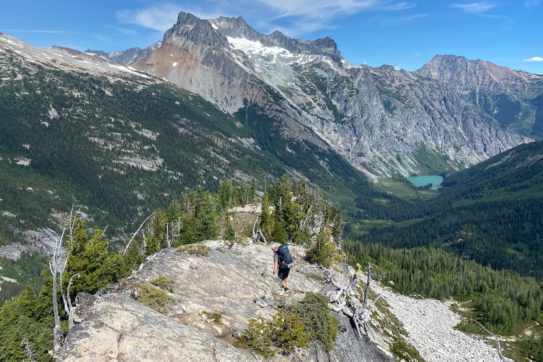
Topo Maps+ shows up in unusual places: search-and-rescue deputies on the Texas/Mexico border, wildland firefighters keeping a strike team on the same page, hunters scouting elk country in the Rockies, K-9 SAR teams marking covered ground, Canadian backcountry guides on weeks-long routes, and a steady backbone of weekend hikers and backpackers across the US and Canada. Wilderness guides like Matt Kessler use it on their own trips and recommend it to their groups — watch his independent review → The app was made for serious outdoor use, and that’s where it earns its place.
Try it
Try the map. Email us with questions.
Free to try in your browser. The 7-day free trial unlocks every feature.