
Measuring Tool
The measuring tool is a quick way to get the distance between points on the map. Measurements are straight lines ("as the crow flies"), so they don't follow trails.
How to measure a distance
-
Open the measuring tool from any of these:
- The tap & hold menu (tap and hold anywhere on the map)
- A waypoint
- A map POI
- Your location
In each case, tap Measure in the sheet that opens.
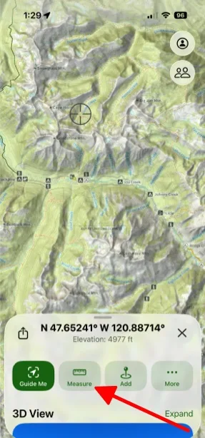
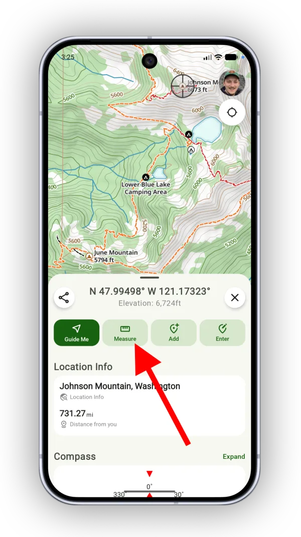
-
A line is pinned to the crosshairs. Tap the map or drag the crosshairs to move the end of the line. The sheet shows the distance, bearing, and elevation change for the line.
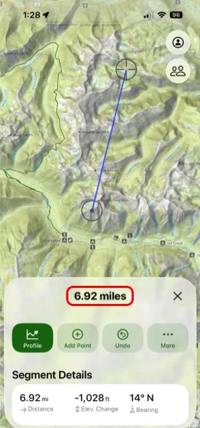
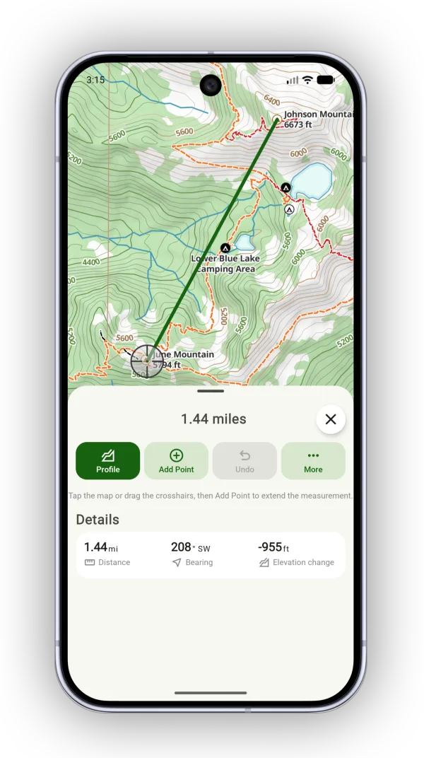
-
Tap Add Point to start a new segment and build a multi-segment line. Tap Undo to remove the last point.
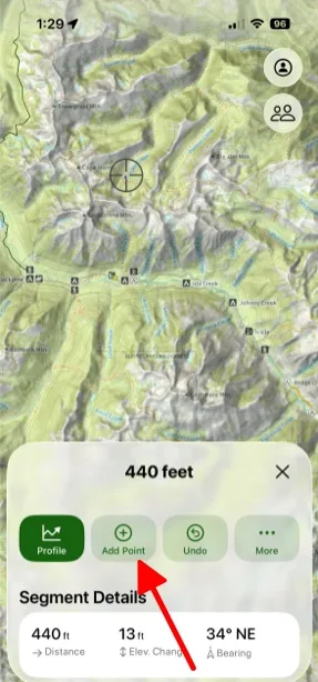
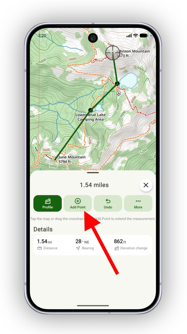
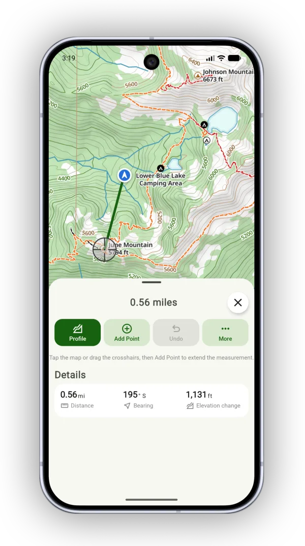
When you measure from your location, the start of the line stays pinned to your location.
Measure with two fingers
On iPhone and iPad you can also tap and hold with two fingers anywhere on the map. Two points appear with the distance between them shown in the sheet.
Show the map scale
For a rough sense of distance while you zoom, turn on the map scale. It shows in the top-left corner of the map.
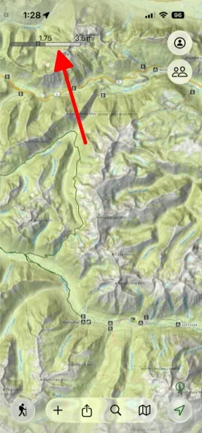
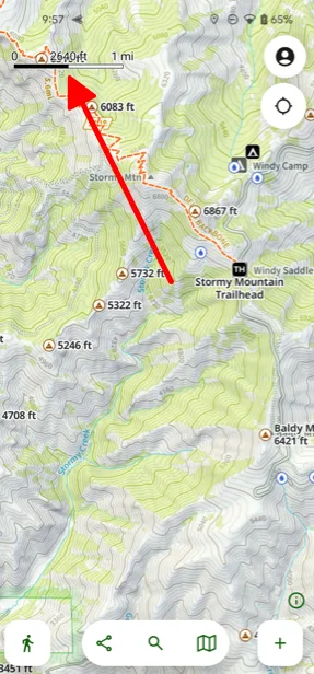
If it isn't showing, go to Advanced Maps, scroll down to Grid and Navigation, and tap Scaletap the Map button, scroll down to Map Components, and tap Scale.
Updated October 7, 2026
More in Planning Tools
Still need help?
We’re a small team and we read every message. Email support@topomaps.co and tell us which device you’re on.