
Trail Distances
When you're on the trail, you often need to know how far it is to your next stopping point, like the next water source. Trail distances show every point along the trail you're following, measured from your current location.
How to view distances along the trail
-
Tap the Hike button in the toolbar.
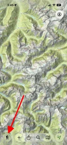
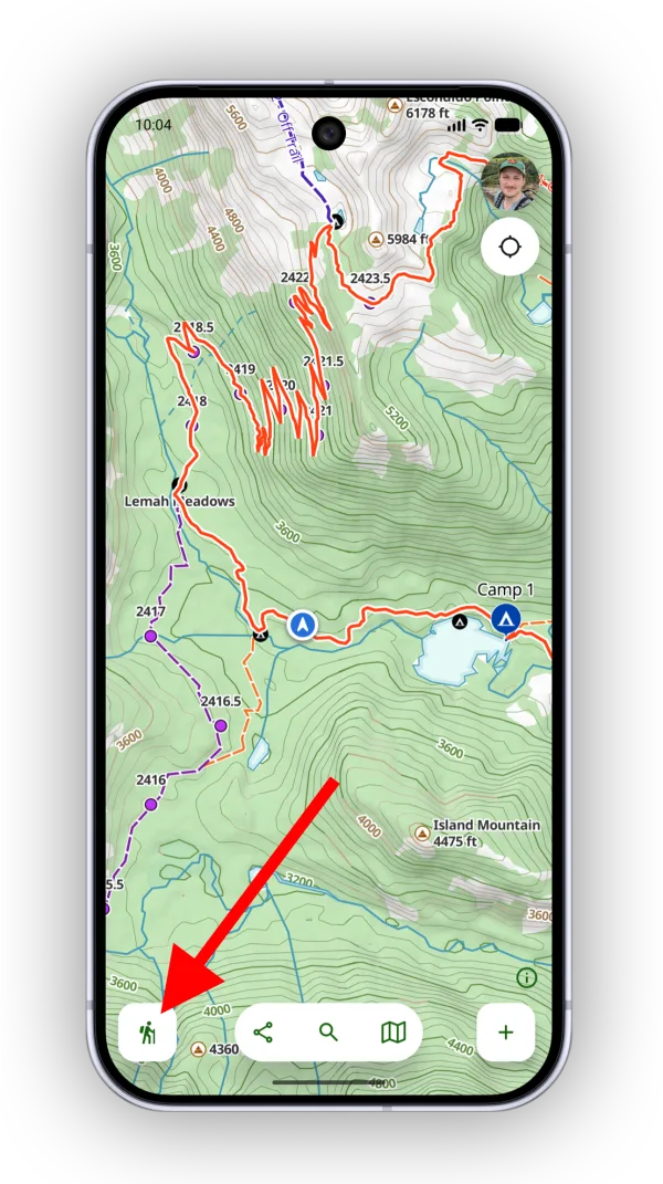
-
Tap Segments.
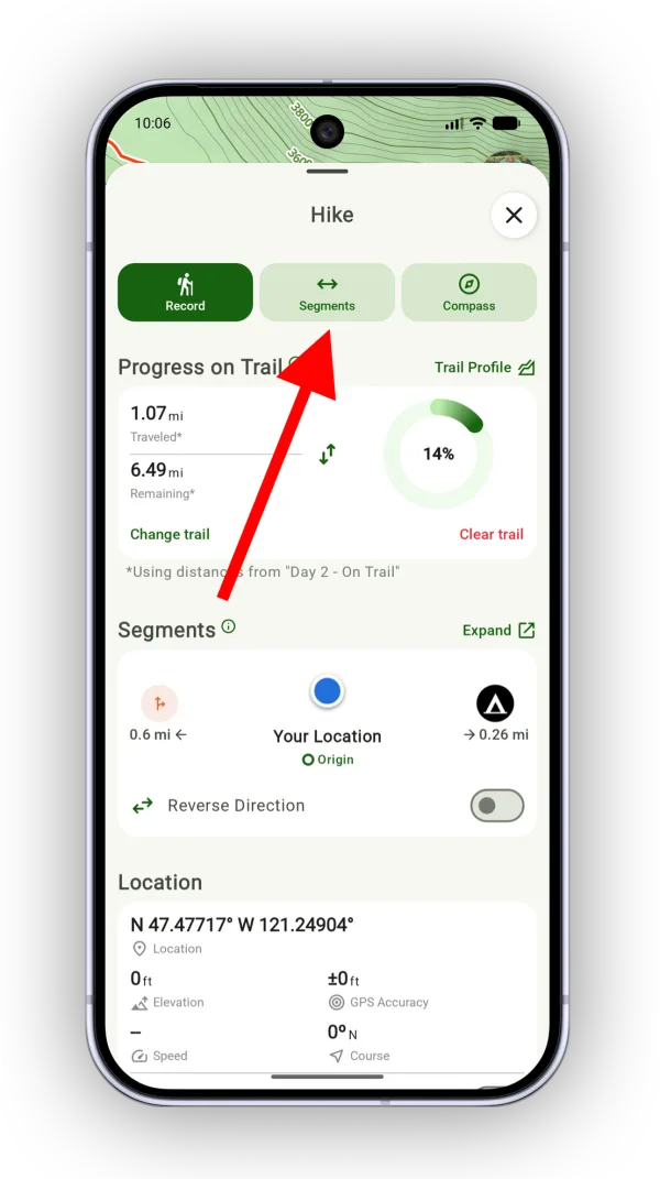
Shown on Android — iPhone looks slightly different.
The points along the trail appear in a list, with your current location as the starting point for every distance.
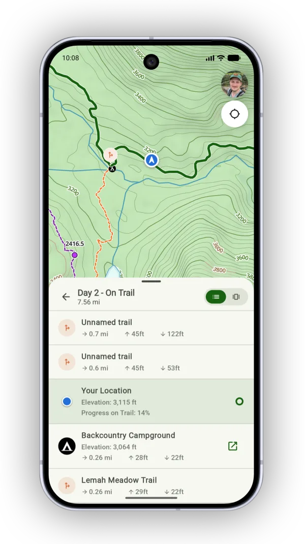
For a more interactive view, tap the horizontal view icon in the top-right corner. As you swipe or tap through the points, the map centers on each one and adds icons for points that aren't already on the map.
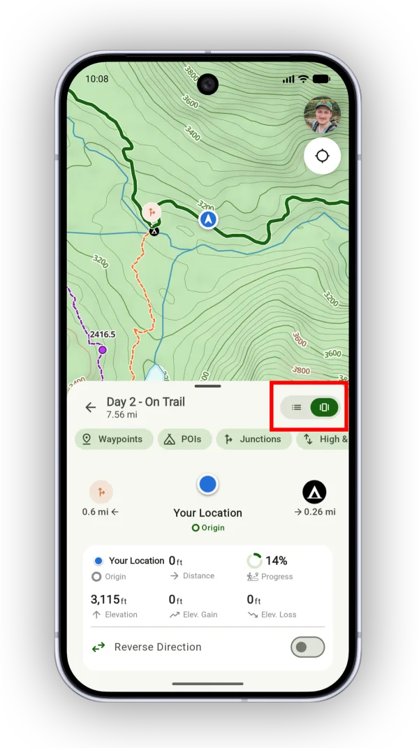
To learn more about the list and horizontal views and filters, see Trail Segments.
Updated October 7, 2026
More in Planning Tools
Still need help?
We’re a small team and we read every message. Email support@topomaps.co and tell us which device you’re on.