
Intro to Topo Maps+ for Apple Watch
Topo Maps+ for Apple Watch puts your map, track recording, and navigation tools on your wrist, so you can check your progress on the trail without pulling out your phone.
The main map screen
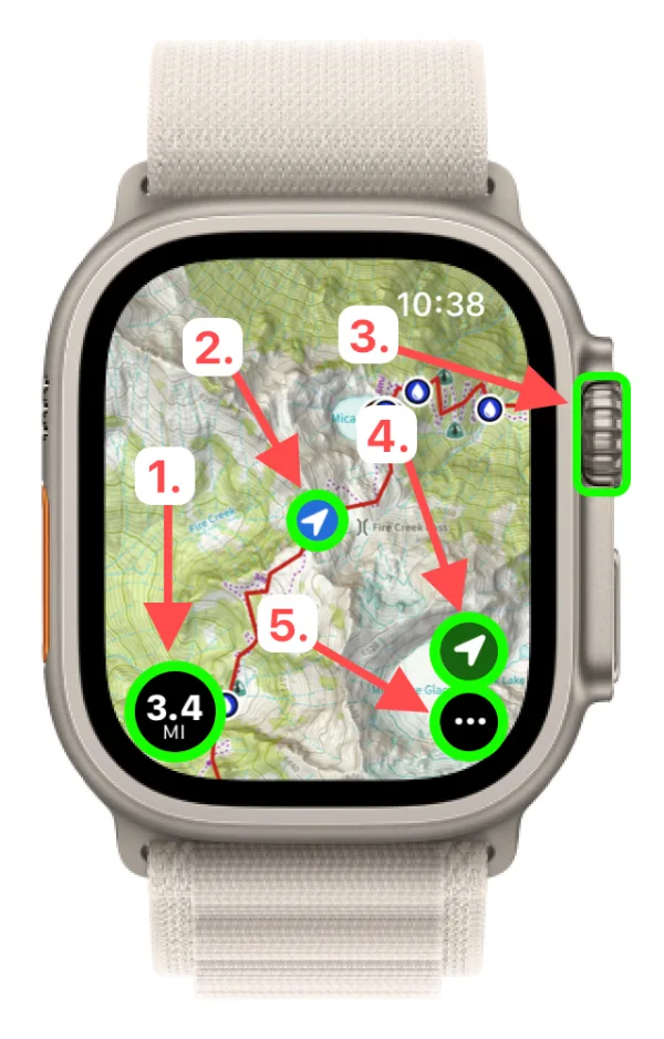
-
Distance: while you're recording a track, this shows the distance you've traveled. Tap it to bring up the track menu.
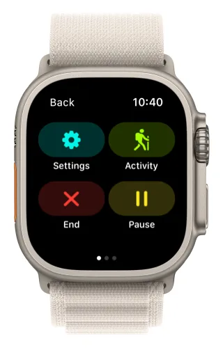
-
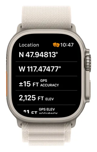
Your location: tap it to see your coordinates and elevation.
-
Digital Crown: rotate it to zoom in and out. You can also double-tap the map to zoom in.
-
Location button:
- Tap once to center the map on your location.
- Tap again to rotate the map to the direction you're facing.
-
Menu button: tap it to see all of the app's options.
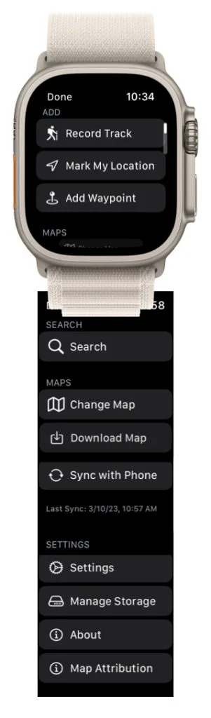
For more on moving around the map, see Screen Gestures on Apple Watch.
Why use the Watch app?
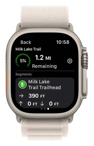
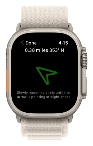
The Watch app really shines with on-trail tools. Just like the iPhone and iPad app, you can download maps for offline use, record tracks, see your progress on trail, and drop waypoints — but on the trail it's even easier. Raise your wrist to see your progress and stats, or let Guide Me point you to a waypoint.
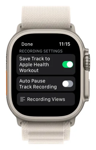
With Apple Health integration, you can also save your tracks as Apple Health workouts.
Updated October 7, 2026
More in Apple Watch
Still need help?
We’re a small team and we read every message. Email support@topomaps.co and tell us which device you’re on.