
Which Maps Are Included
Topo Maps+ includes about 30 maps, and different maps work better for different purposes. No single map is perfect: some are missing features like glaciers or creeks, some don't include every trail, and some are out of date or don't cover your whole area. Comparing a few maps is the best way to find the right one for your trip.
These are the maps people use most.
United States
Natural Atlas
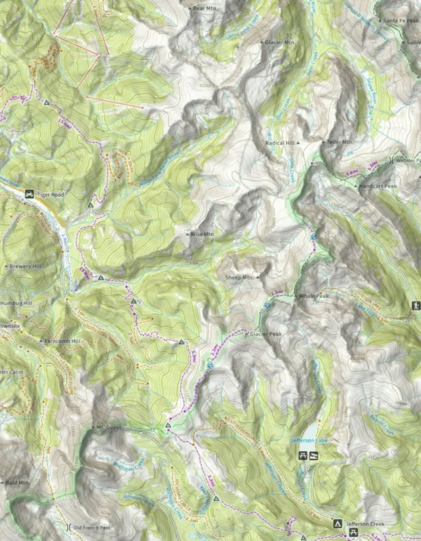
Natural Atlas is a great map to start with, and often the only map you'll need on a hike. It combines data from the US Forest Service, national parks, state parks, and local land management agencies, and that data is heavily reviewed to correct errors, fill in gaps, and remove duplicates. Where public data isn't available, Natural Atlas created its own.
It has all the details of a USGS map plus backcountry features like timberline, creeks, trails, and glaciers, including:
- 215,000 miles of trails
- 12,000 trailheads
- 6,000 public campgrounds and 4,900 campsites
- 1,300 dispersed camping areas
- 13,000 boat ramps and 4,200 fishing access sites
- 4,000 picnic areas
It's easy to read at every zoom level and is constantly being updated.
US Forest Service
US Forest Service maps are an excellent choice for both trip planning and on-trail navigation, and are often the most up-to-date backcountry map. They include key features such as timberline, glaciers, and seasonal creeks, and are hand-curated by a cartographer.
The main limitation is coverage: they don't cover the entire United States, and most notably exclude national parks. They work well as a map overlay.
Glacier Topo and Glacier Hybrid
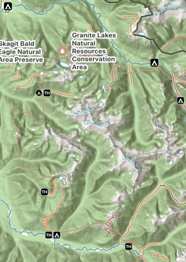
Glacier Topo is a topographic map whose look changes with your map activity style.
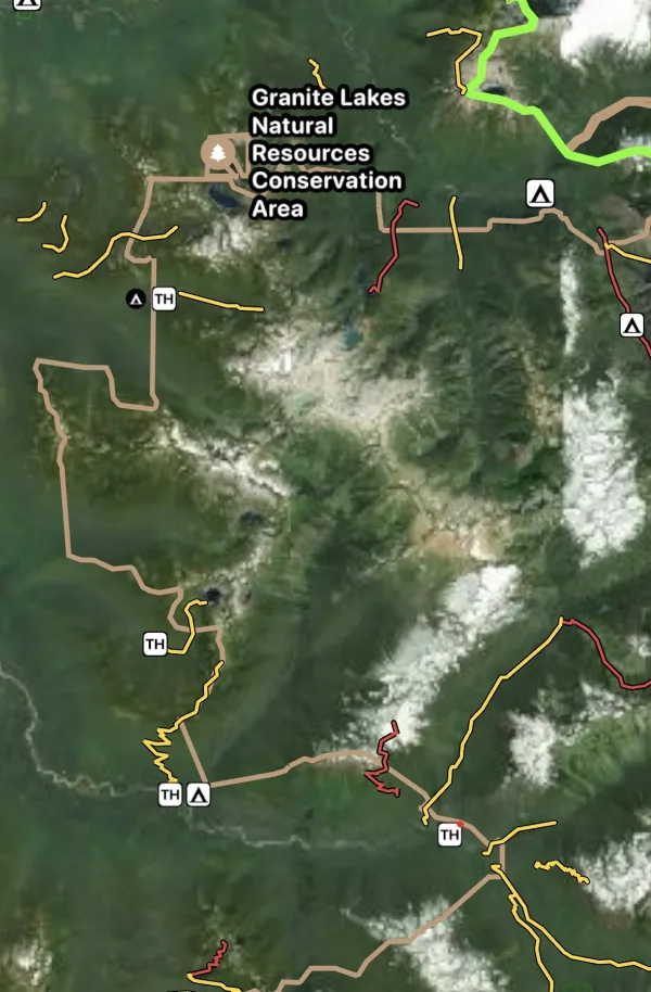
Glacier Hybrid is a worldwide satellite map with contour lines, roads, and other map features on top. See Hybrid Maps.
USGS maps
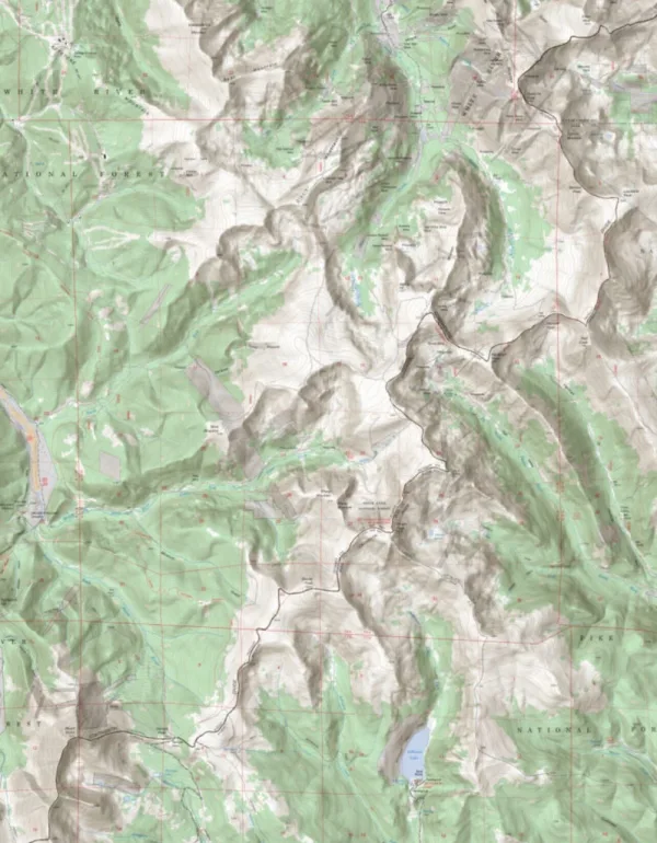
The USGS topographic maps are the tried-and-true backpacking maps. They have the most detail for off-grid locations, including rivers, lakes, trails, and timberline. Most were made between 1940 and 1960, so they're not the best choice for areas that have been developed since.
- They match the extents of the popular 7.5-minute, 1:24,000-scale quadrangle maps (scale varies in Alaska and Puerto Rico).
- They use a standard map collar and traditional reference system (latitude/longitude and US National Grid).
- USGS Topo Map comes from two sources, ESRI and Glacier Peak Studios. The ESRI maps generally have higher resolution.
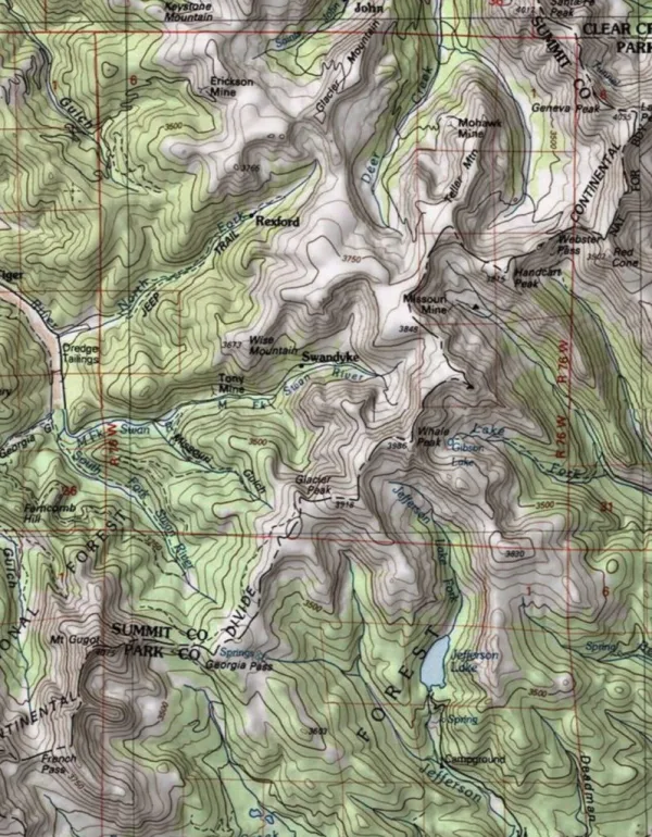
Other USGS maps include US National Map, USGS Imagery Topo, and USGS Imagery Only.
Benchmark Maps
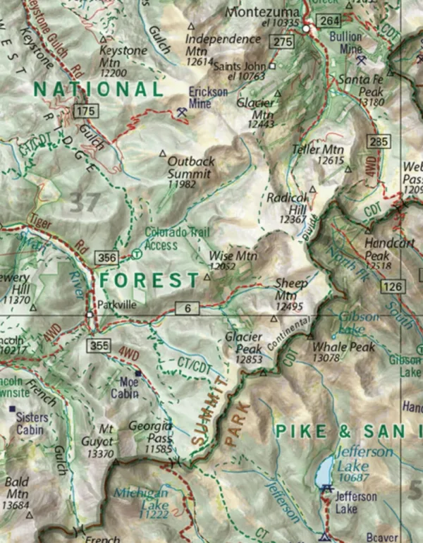
Since 1995, Benchmark Maps field checkers, cartographers, and editors have been mapping the American West. Their atlases are a great tool for planning road trips and adventures.
Worldwide
AccuTerra Topo
AccuTerra Topo is a top choice for worldwide topo coverage, combining detailed terrain with reliable global availability. AccuTerra includes multi-use, equestrian, foot, OHV, and snowmobile trails. It comes in two versions: one with elevations in feet and one in meters.
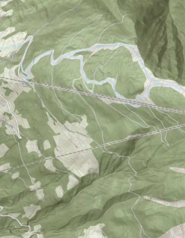
Thunderforest Outdoor is another excellent map for consistent, detailed topo coverage almost anywhere in the world.
Satellite maps
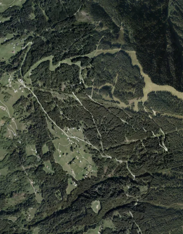
Mapbox and ESRI provide the best satellite maps for use worldwide. Their imagery is high quality, frequently updated, and covers virtually every corner of the world, which makes them great for researching your next adventure.
Canada
NRCan Canada Topo
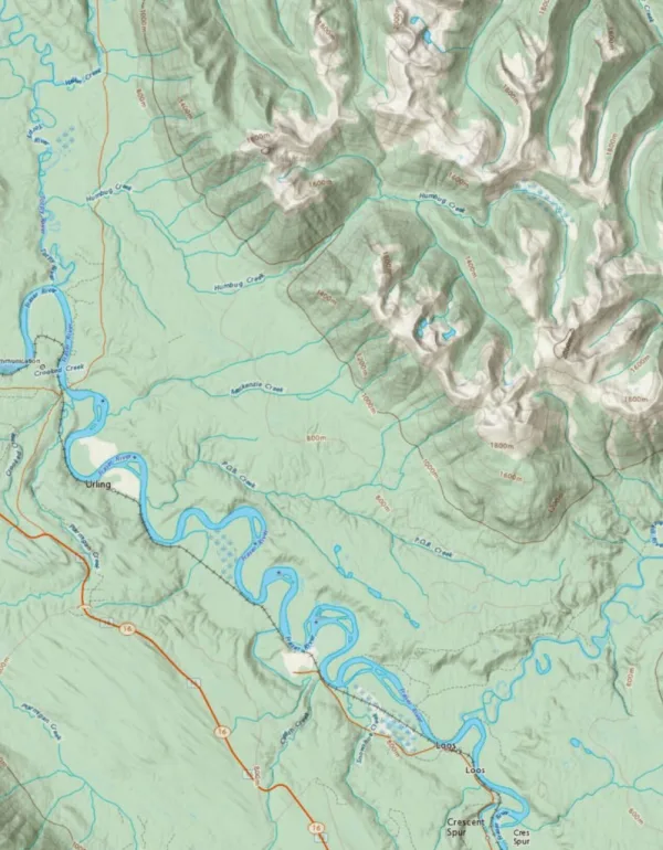
NRCan Canada Topo (Toporama) is the best choice for detailed, accurate topographic coverage anywhere in Canada.
Backroad Mapbooks
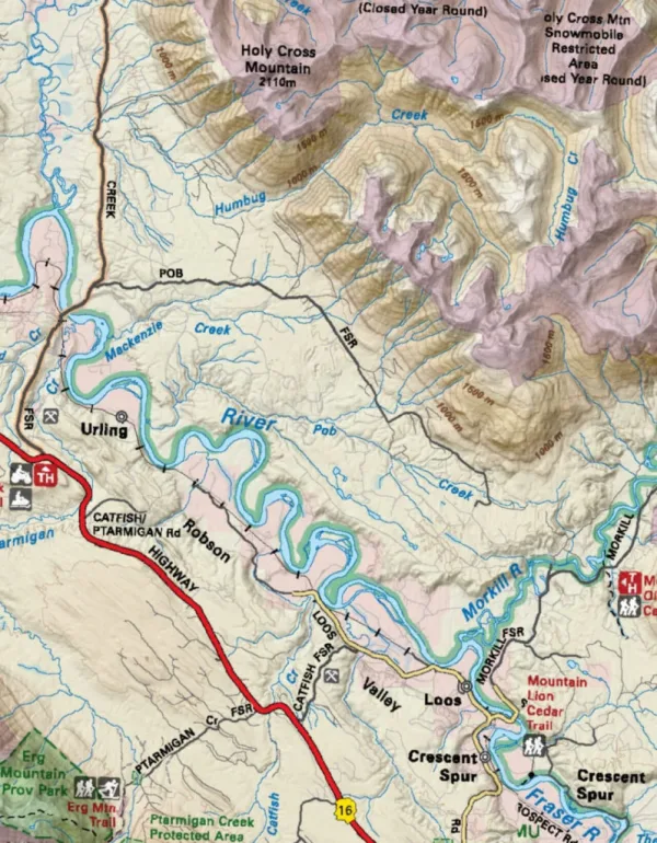
Backroad Mapbooks are the best option for recreation in Canada. Trusted by Canadian outdoorspeople for over 25 years, they feature detailed topographic maps with industry-leading road and trail coverage, and highlight trails, campsites, and other outdoor features.
New Zealand
LINZ Topo Map
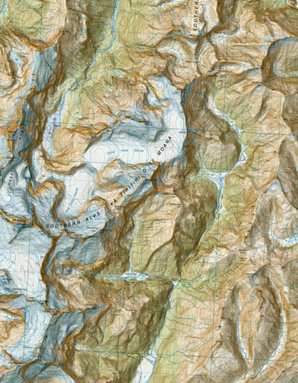
The LINZ Topo50 map is the go-to topo map for New Zealand. Built from official government data at 1:50,000 scale, it covers the New Zealand mainland and the Chatham Islands.
Updated October 7, 2026
More in Maps & Overlays
Still need help?
We’re a small team and we read every message. Email support@topomaps.co and tell us which device you’re on.