
Private Land Overlay (US)
Using the web app? Land Ownership Overlays on the Web App
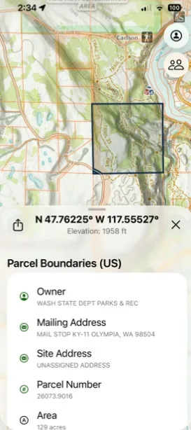
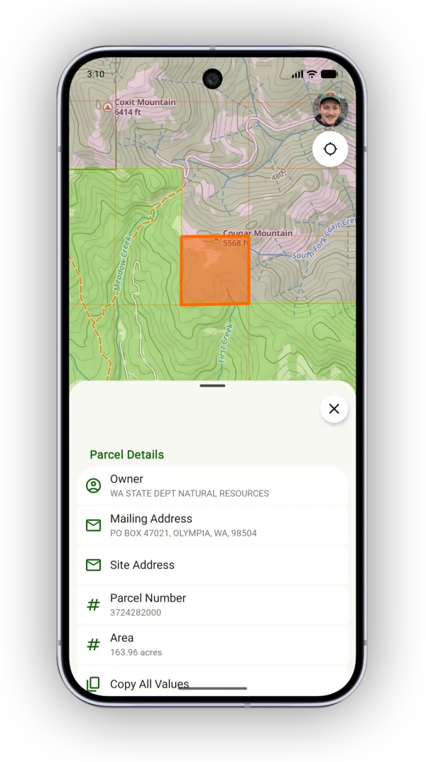
The Private Land overlay shows parcel boundaries on the map. Tap a parcel to see who owns it, which helps you stay on the right side of property lines or find out who to ask for access.
How to turn on the Private Land overlay
-
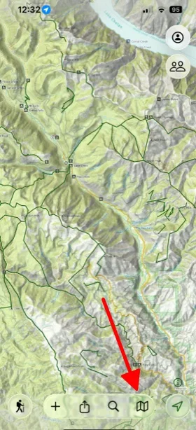
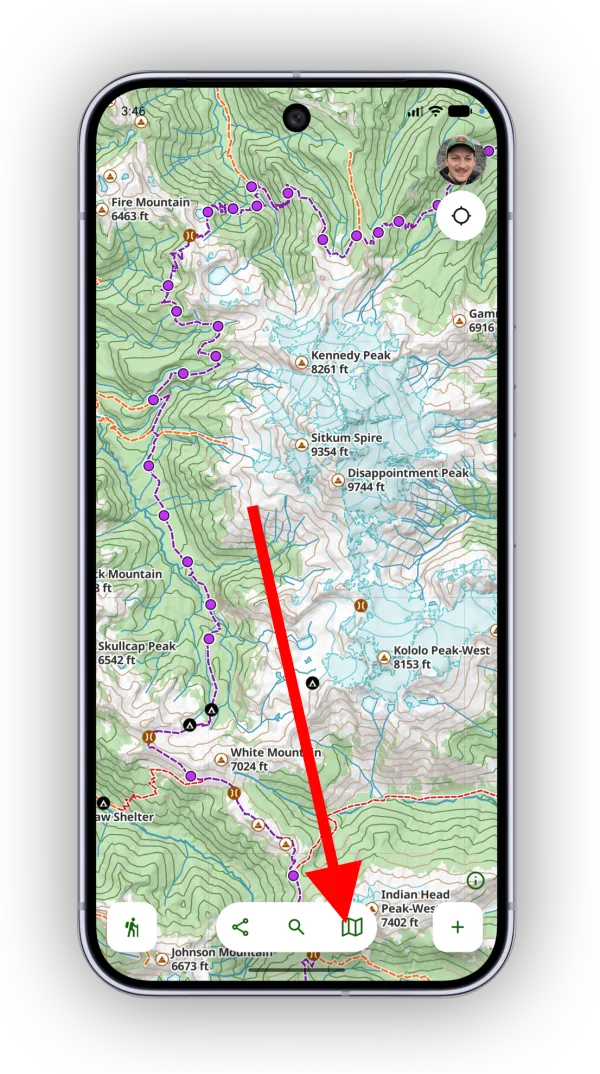
Tap the Maps button in the toolbar.
-
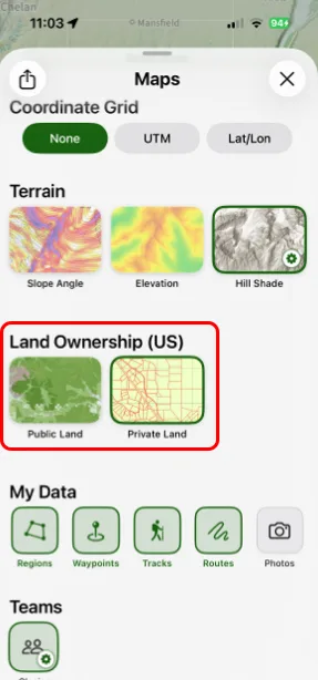
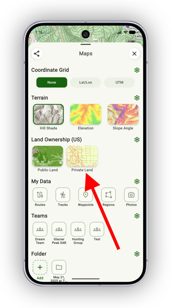
Under Land Ownership (US), select Private Land.
How to view parcel details
Tap a parcel on the map to see its details, or tap and hold to show details for the parcel under the crosshairs.
Updated October 7, 2026
More in Maps & Overlays
Still need help?
We’re a small team and we read every message. Email support@topomaps.co and tell us which device you’re on.