
SNOTEL (US Snowpack) Overlay
The SNOTEL overlay shows snow monitoring stations from the US Natural Resources Conservation Service (NRCS), with each station's current snow depth. It's especially useful for backcountry trip planning, avalanche assessment, and following how the season's snowpack develops.
How to turn on the SNOTEL overlay
-
Tap the Maps button in the toolbar.
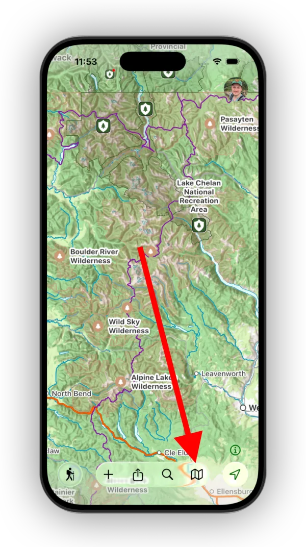
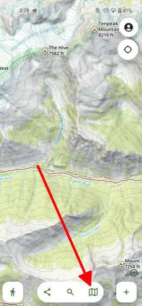
-
Scroll down to the Weather section and select US SnowpackSNOTEL.
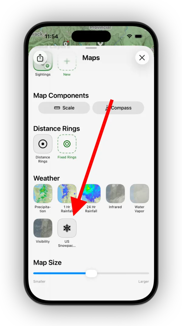
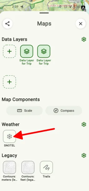
-
Topo Maps+ downloads the SNOTEL station data and shows the stations on the map.
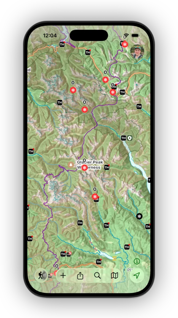
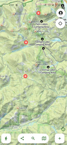
Viewing station data
Tap a station on the map. Topo Maps+ checks for today's data and shows the station's elevation, snow depth, precipitation, and temperatures. Scroll down for charts of recent readings.
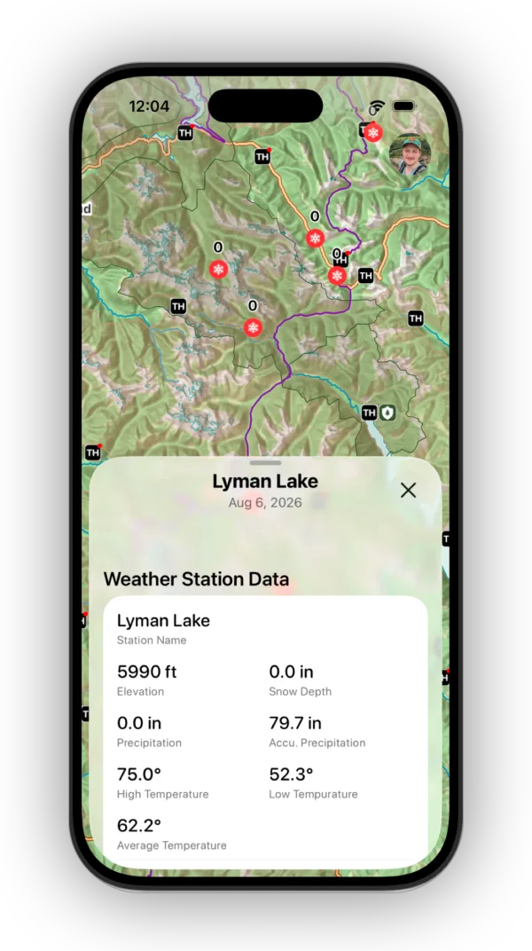
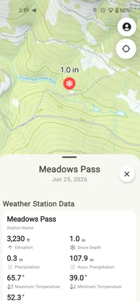
How to change how stations look
-
In the Maps panel, tap the settings icon on the overlay.
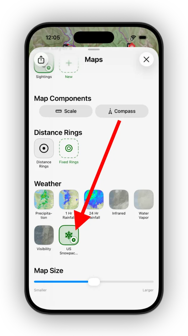
Shown on iPhone — Android looks slightly different. -
Adjust the layer settings and styles, such as which value shows as the station title and the snow depth color scale.
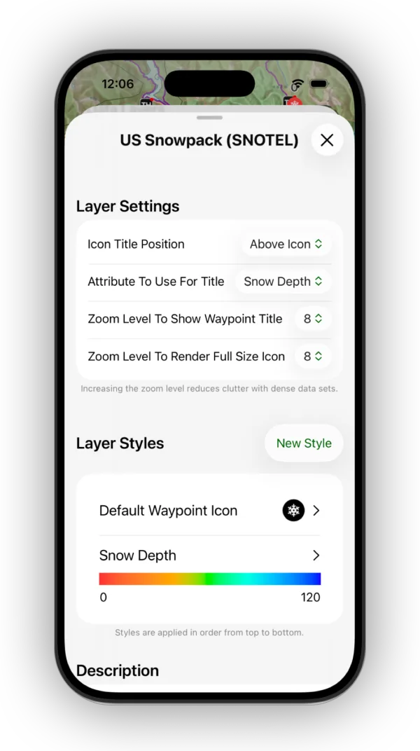
Shown on iPhone — Android looks slightly different.
Tips
- The SNOTEL network mainly covers mountain areas in the western United States.
- Measurements are usually updated daily, giving near real-time snow conditions.
- You need a cellular or data connection to get the latest SNOTEL data in the field.
Updated October 7, 2026
More in Maps & Overlays
Still need help?
We’re a small team and we read every message. Email support@topomaps.co and tell us which device you’re on.