
Elevation Heat Map
Using the web app? Elevation Heat Map on the Web App
The elevation heat map overlay colors the map by elevation range. It makes differences in elevation easy to see and highlights the elevation ranges you're most interested in.
How to turn on the overlay
-
Tap the Maps button in the toolbar.
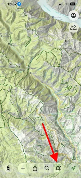
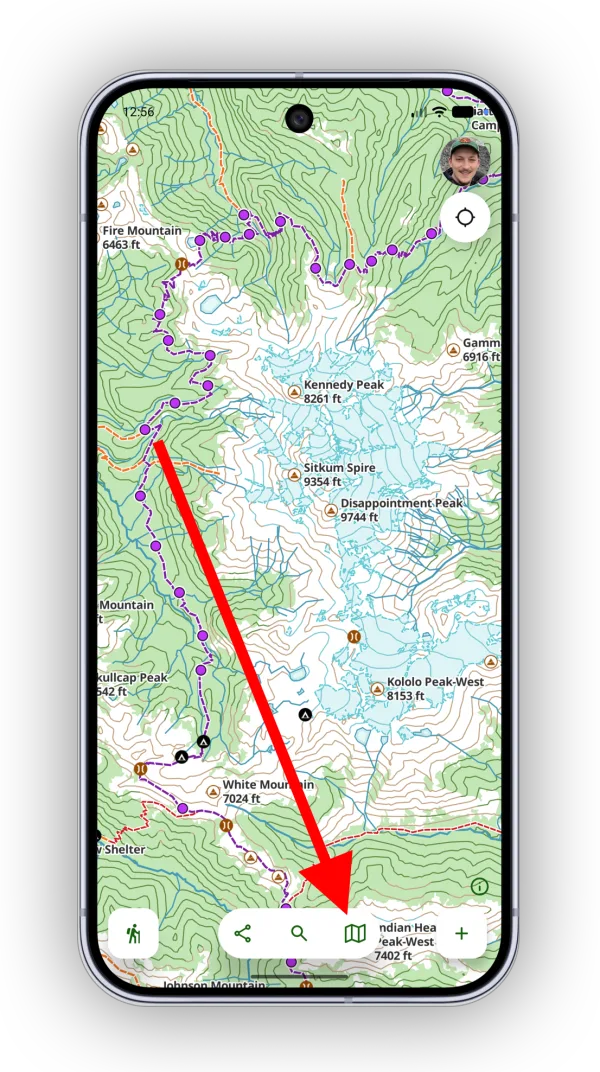
-
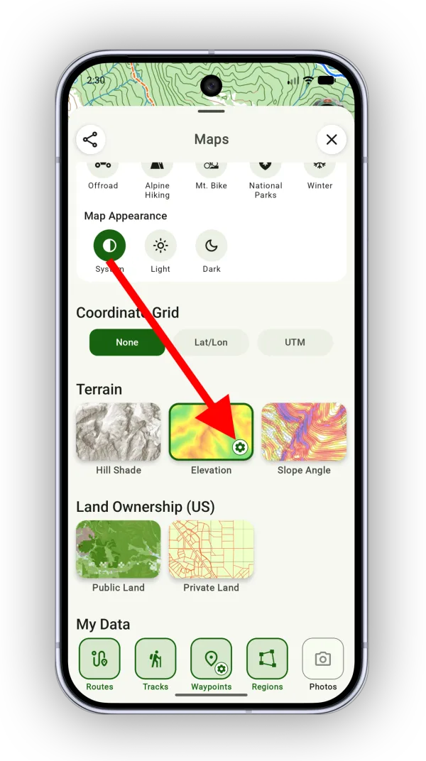
Under Terrain, tap Elevation.
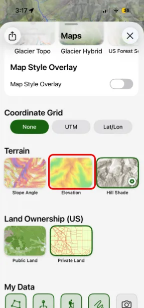
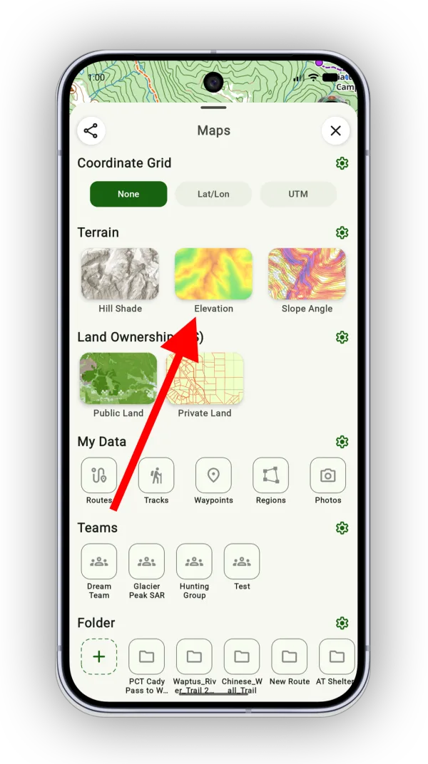
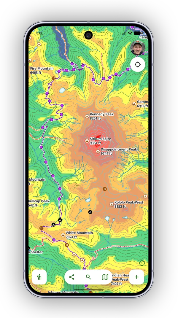
This is what the overlay looks like with the default colors:
How to customize the colors
-
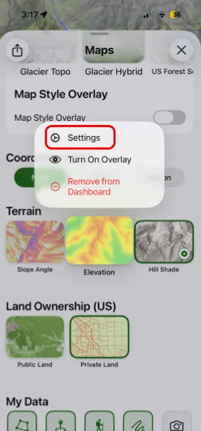
Tap the settings icon on the Elevation overlay. You can also tap and hold it, then tap Settings.
-
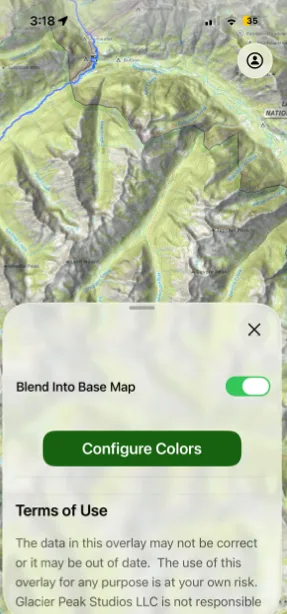
Tap Configure Colors.
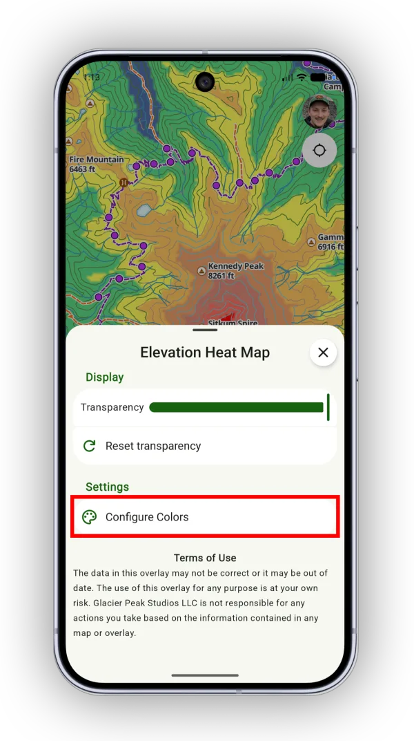
-
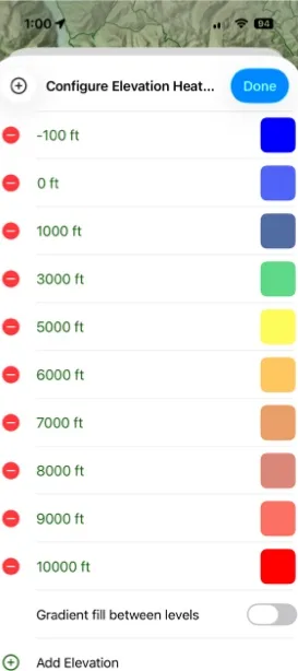
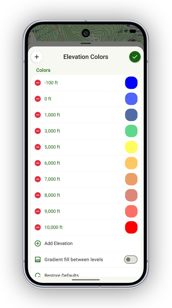
Customize the colors:
- Tap a red remove icon to remove an elevation from the color scheme.
- Tap the plus icon or Add Elevation to add an elevation range.
- Tap an elevation to edit its value.
- Tap a color to change the color for that elevation range.
Updated October 7, 2026
More in Maps & Overlays
Still need help?
We’re a small team and we read every message. Email support@topomaps.co and tell us which device you’re on.