
Hunting Overlays
Using the web app? Hunting Overlays on the Web App
The Hunting map style adds hunting unit boundaries for the states and provinces you hunt in, organized by state and game type.
How to turn on hunting units
-
Tap the Maps button in the toolbar.
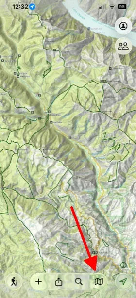
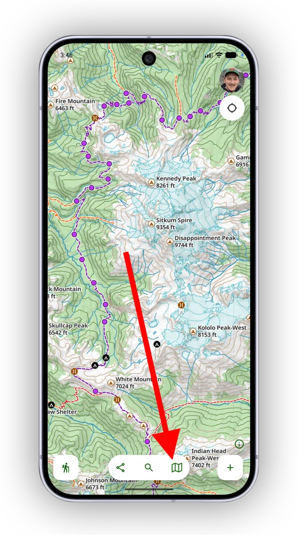
-
Select the Hunting map style.
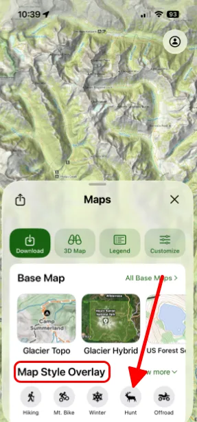
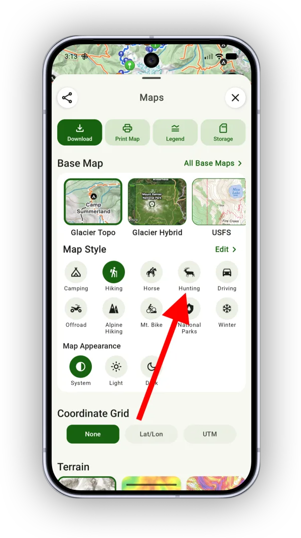
-
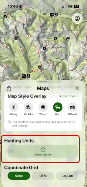
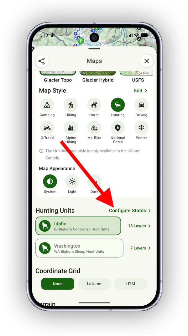
Choose the states you hunt in. If you picked them when you first set up Topo Maps+, they already appear in the Hunting Units section. To add or remove states, tap Configure States.
-
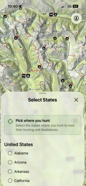
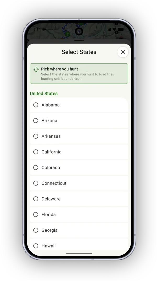
Select the states or provinces you hunt in.
How to choose a hunting layer
When you add a state, Topo Maps+ selects a default hunting layer for it. To show a different one:
-
In the Hunting Units section, tap Layers next to the state.
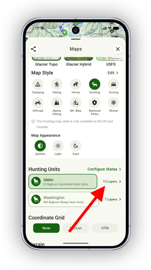
Shown on Android — iPhone looks slightly different. -
Select the layer you want to view.
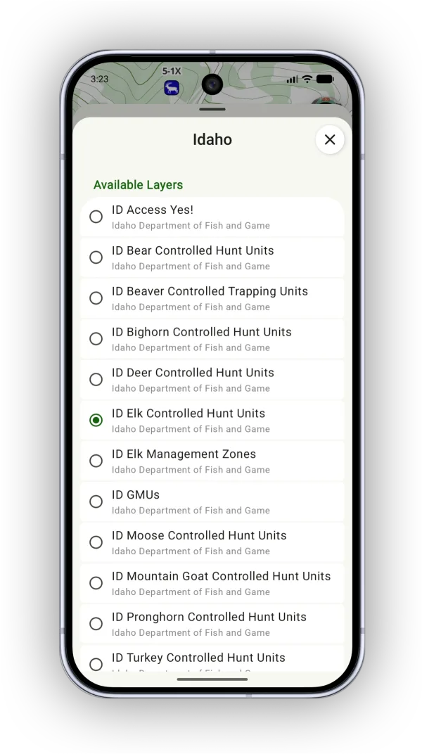
Shown on Android — iPhone looks slightly different.
Viewing unit details
Tap a hunting unit on the map to see its details.
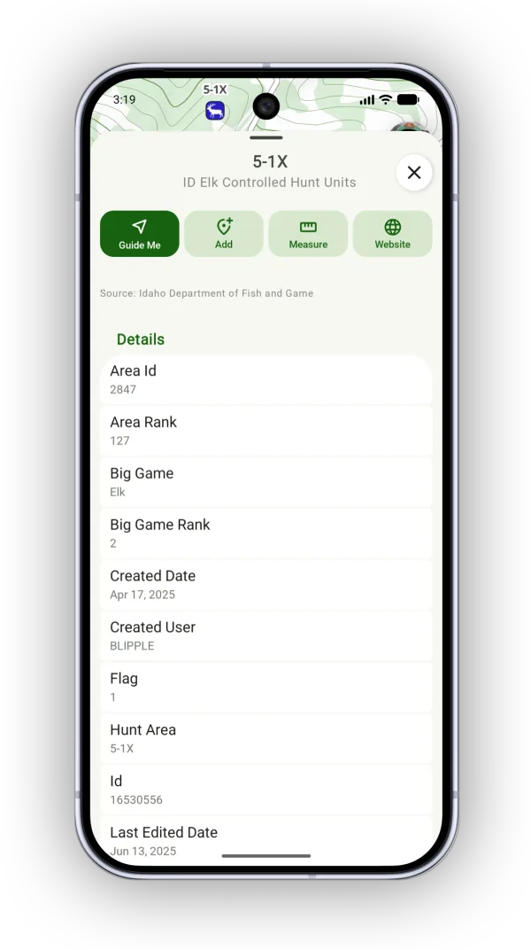
Updated October 7, 2026
More in Maps & Overlays
Still need help?
We’re a small team and we read every message. Email support@topomaps.co and tell us which device you’re on.