
Grid Overlays
Using the web app? Grid Overlays on the Web App
Topo Maps+ can show a coordinate grid on top of the map, which helps when you're reading or sharing coordinates. There are two grid types:
-
Lat/Lon (latitude and longitude)
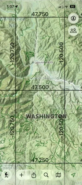
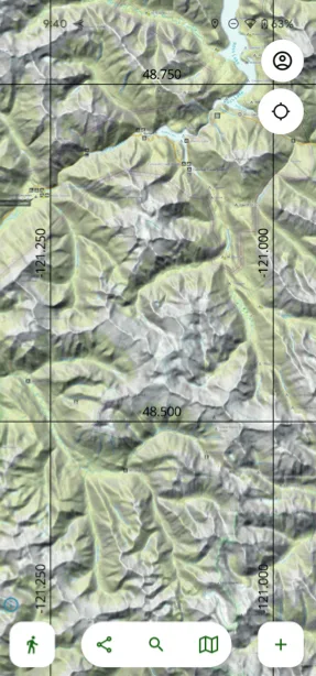
-
UTM (Universal Transverse Mercator)
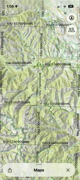
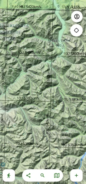
How to turn on a grid
-
Tap the Maps button in the toolbar.
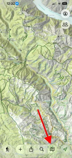
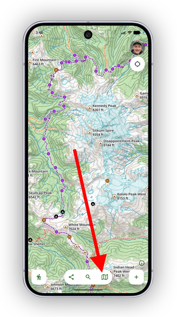
-
In the Coordinate Grid section, select Lat/Lon or UTM. Select None to turn the grid off.
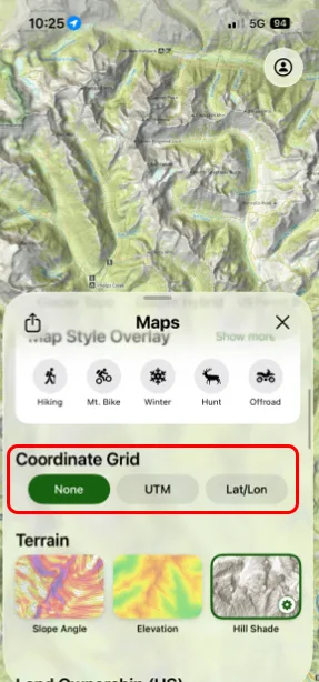
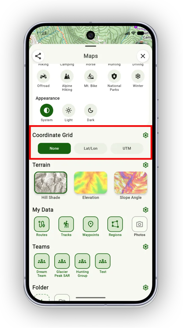
Scale and compass
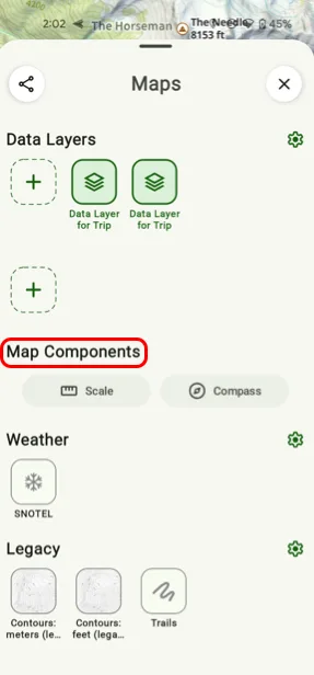
To show a distance scale or a compass on top of the map, scroll down to Map Components on the Maps screen and turn on Scale or Compass.
Distance rings
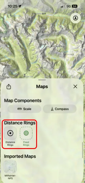
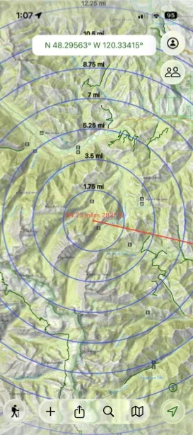
Distance rings draw circles at set distances on the map. Scroll down to the Distance Rings section on the Maps screen and turn on Distance Rings, or choose Fixed Rings to keep them fixed around a specific point.
Updated October 7, 2026
More in Maps & Overlays
Still need help?
We’re a small team and we read every message. Email support@topomaps.co and tell us which device you’re on.