
Public Land Overlay (US)
Using the web app? Land Ownership Overlays on the Web App
The Public Land overlay shades the map by land manager, so you can see where national forest, BLM, state, and other public lands begin and end. It's useful whether you're planning a backcountry hunt or just want to know whose land you're on.
How to turn on the Public Land overlay
-
Tap the Maps button in the toolbar.
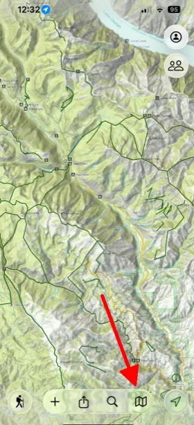
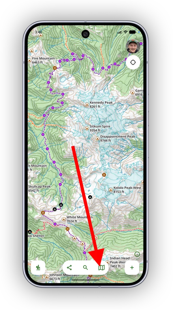
-
Under Land Ownership (US), select Public Land.
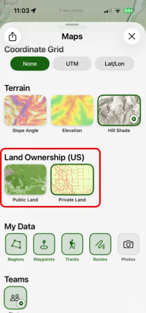
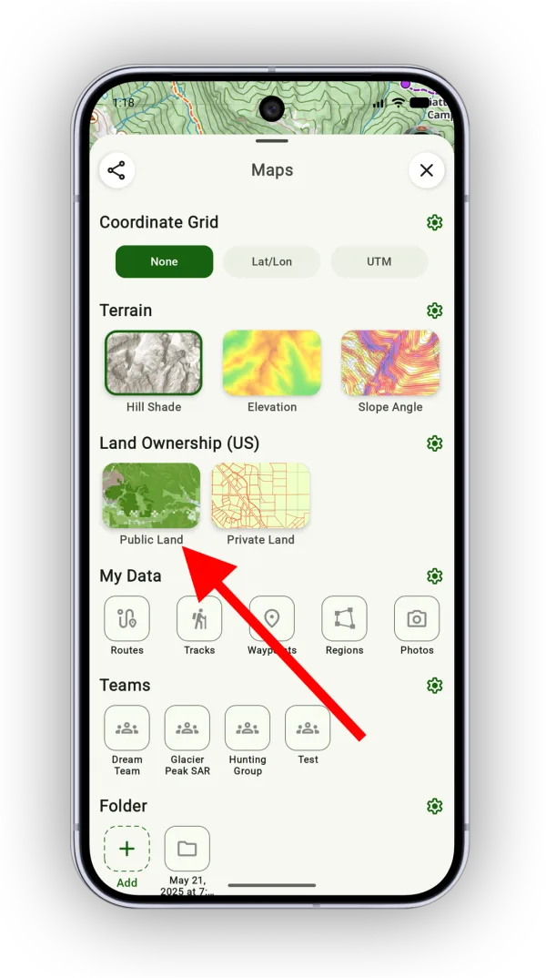
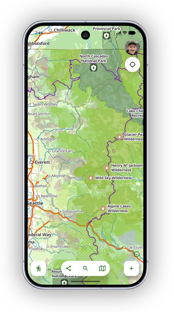
Public land is now shaded on the map:
How to view the legend
-
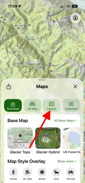
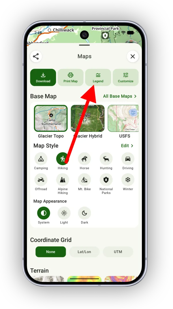
In the Maps panel, tap Legend.
-
Scroll down to the bottom to find the Public Land (US) colors.
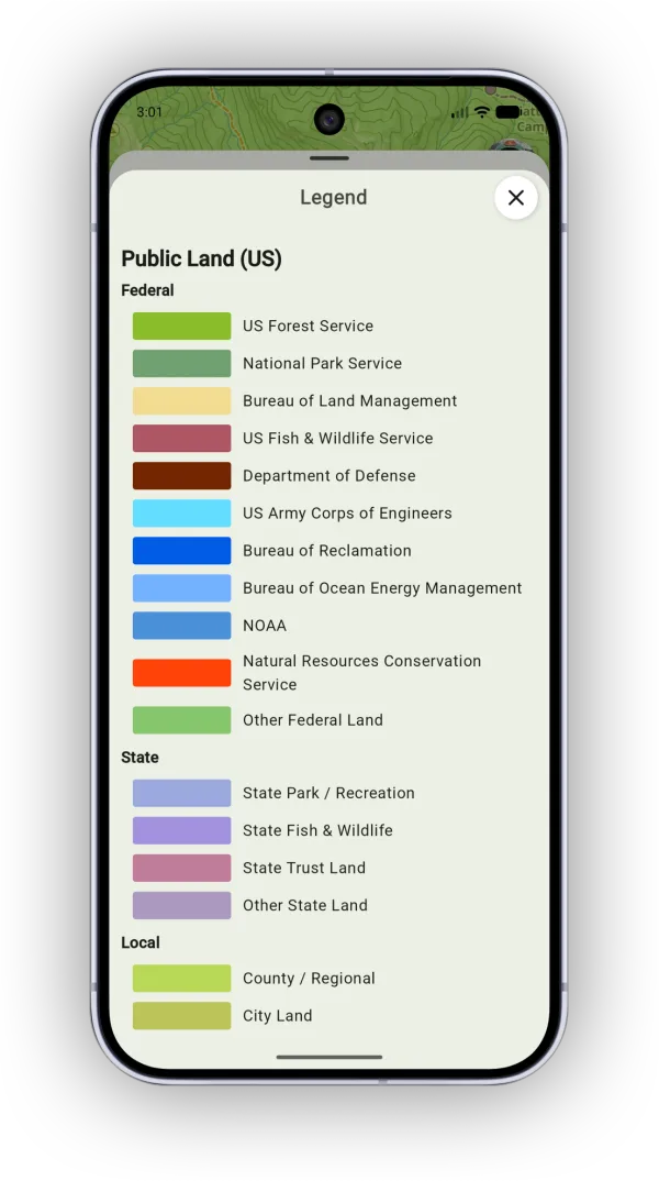
Shown on Android — iPhone looks slightly different.
See Map Legends for more about legends.
Updated October 7, 2026
More in Maps & Overlays
Still need help?
We’re a small team and we read every message. Email support@topomaps.co and tell us which device you’re on.