
Printing Maps on the Web App
On your phone? Printing & Exporting Maps
The web app can print any area of the map, or export it as a PDF or image, ready for a paper map in your pack.
How to print a map
-
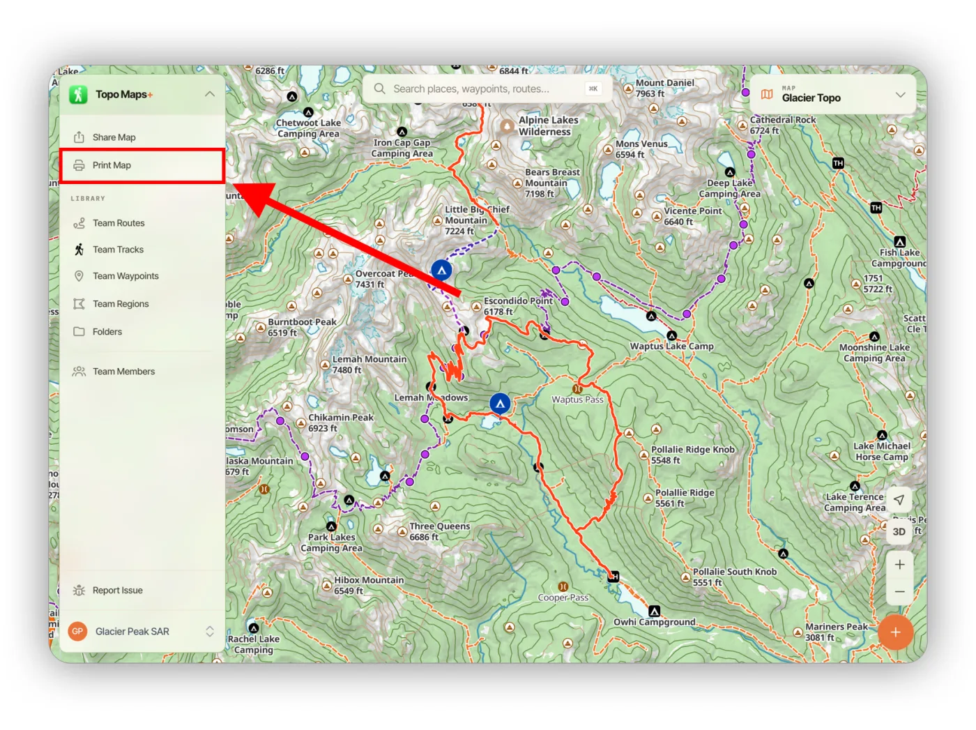
Click Print Map in the sidebar.
-
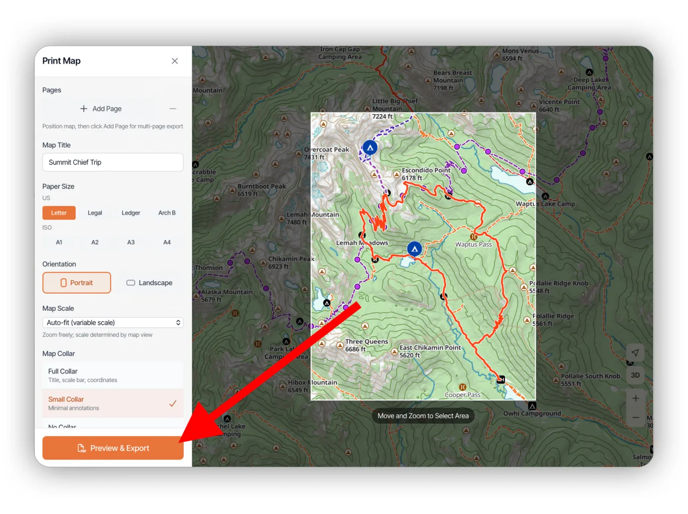
Move and zoom the map to center the print area on the section you want to print. If you aren't particular about the page setup, the default settings usually work well.
-
Click Preview & Export.
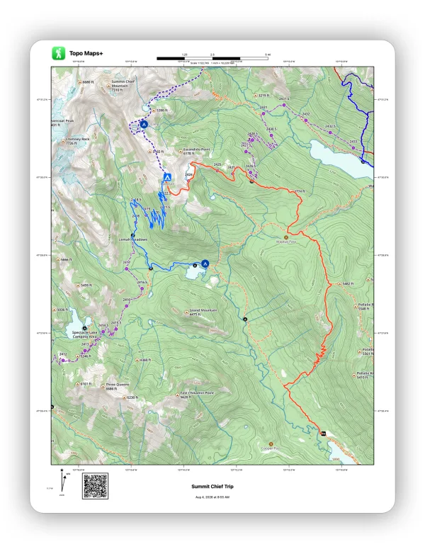
Here's what a print looks like with a full collar:
How to print several pages at once
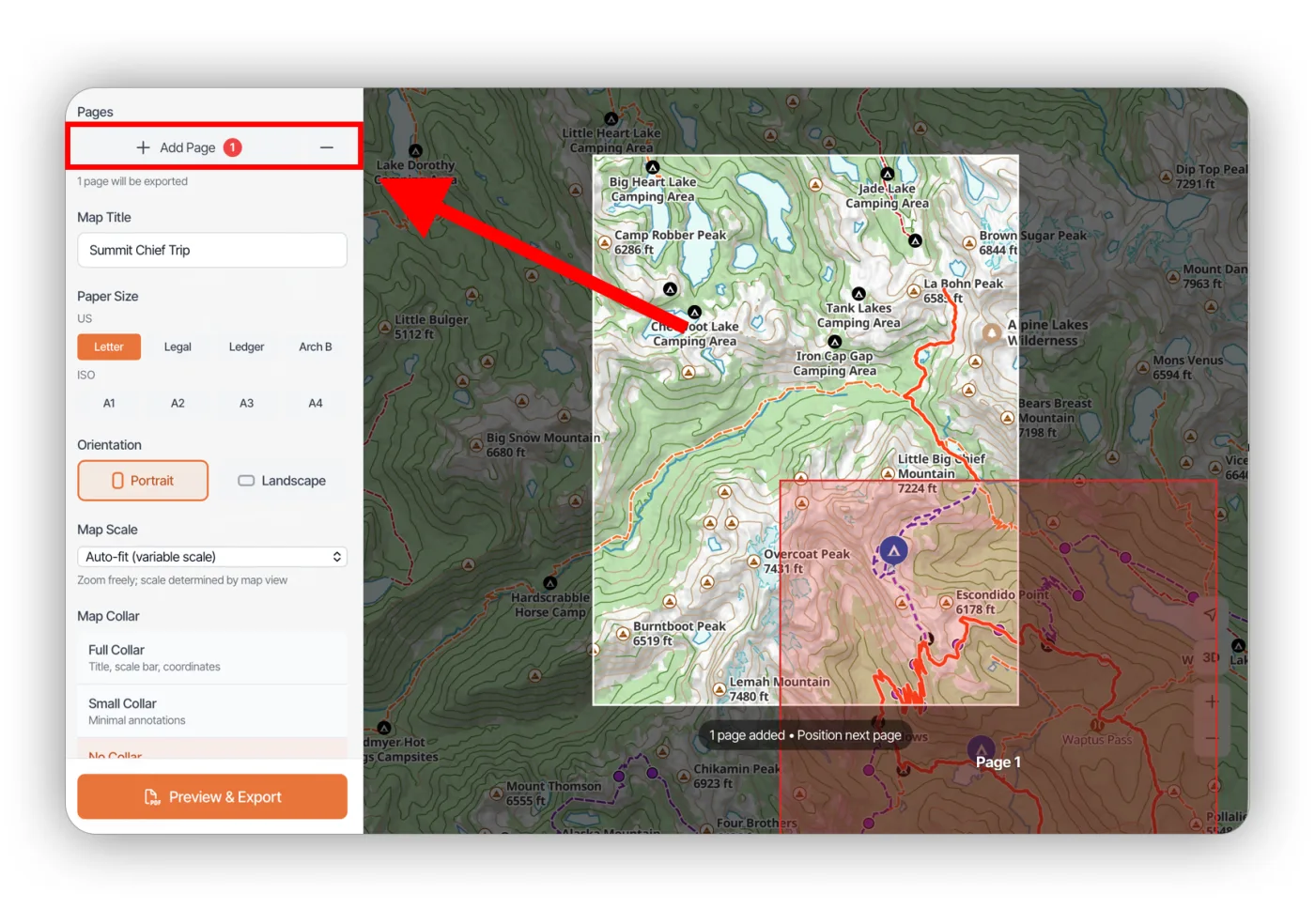
To print several adjacent areas together (for example, 1:24,000 sections of an area), position the map and click Add Page for each page, then click Preview & Export to export them all at once.
Print options
- Map Title: a title to show on the page.
- Paper Size: match the paper you're using, such as Letter, Legal, Ledger, Arch B, or A1–A4.
- Orientation: portrait or landscape.
- Map Scale: set a fixed scale (for example, 1:24,000), or leave it on auto-fit.
- Map Collar: how much space and information go around the border of the map. See the comparison below.
- Coordinate Grid: tick marks, a full Lat/Lon or UTM grid, or no grid.
- Include Scale Bar: add or remove the scale bar.
- Include Declination: add or remove the declination indicator.
- Include My Data in QR Code: every print includes a QR code that links to the map area, so someone can scan it and open the same area in the app. Turn this on to also include your map data, so friends can scan the code and import it. It's off by default to protect your privacy.
- Export Format: PDF, JPG, or PNG.
Collar types
No Collar:
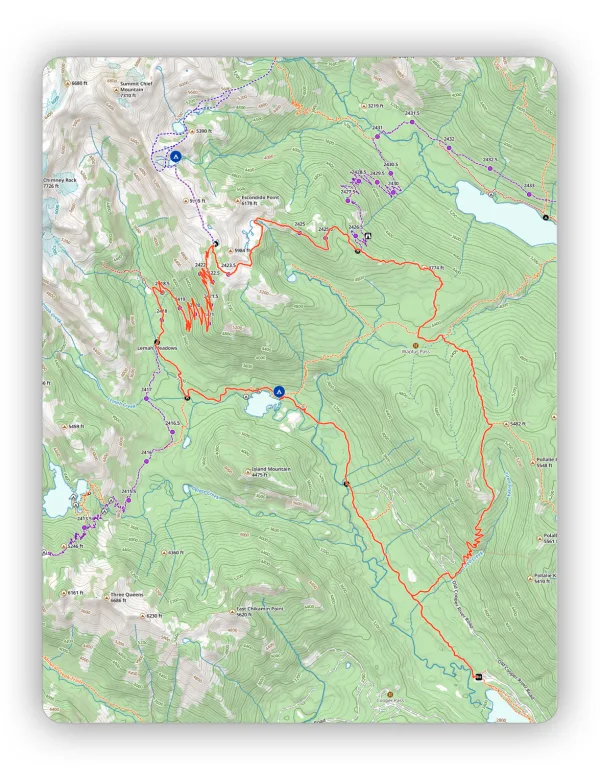
Small Collar:
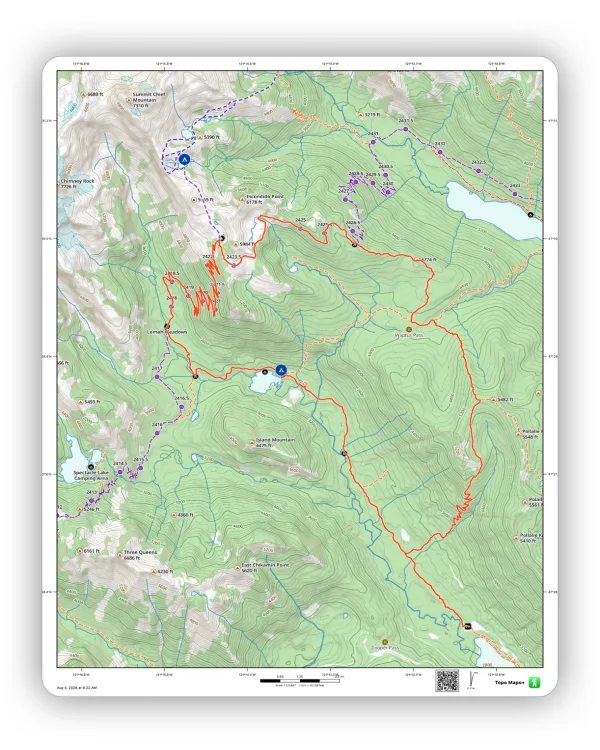
Full Collar:
Updated October 7, 2026
More in Web App
Still need help?
We’re a small team and we read every message. Email support@topomaps.co and tell us which device you’re on.